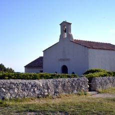
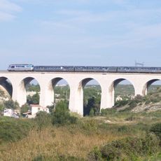
Tamaris, Archaeological site in Martigues, France
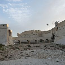
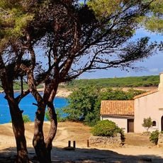
Tamaris is an archaeological site on a promontory over 200 metres long above the Mediterranean, in the south of Martigues. Its landward side was closed by two walls built around 600 BC: a 150-metre arc on the highest point and a 50-metre wall isolating a 0.5-hectare tip, with a curved chicane gate flanked by towers 5.5 to 6 metres thick. Limestone blocks lie scattered on the slope.
Tamaris was an Avatic village occupied mainly in the first half of the 6th century BC, with traces of use into the following century. Its two defensive walls were built around 600 BC; around the mid-6th century the gate of the southern wall was blocked by a wall. The village lost importance after the Phocaeans arrived at Marseille and was abandoned after about two generations.
Tamaris was not a harbour but a hilltop village on a cape above the Mediterranean. Its name is that of the Avatiques, a Celto-Ligurian people. Excavations found a few dozen fine ceramics from Greek and Etruscan regions, plus a cup fragment with an excised decoration and two bronze buttons with a loop, showing trade links with Etruscan Saint-Blaise.
The village occupies a promontory over 200 metres long above the Mediterranean, with cliffs on the seaward sides and a double wall on the landward side. The ground is uneven, with limestone blocks and dry litter underfoot, so sturdy shoes help. The site lies in the south of Martigues commune, in Bouches-du-Rhône.
Excavations show two different building methods: some structures have post holes indicating temporary materials, while others were built from rammed earth. These differences shed light on different social groups or phases of occupation.
The community of curious travelers
AroundUs brings together thousands of curated places, local tips, and hidden gems, enriched daily by 94,624 contributors worldwide.