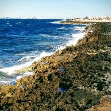
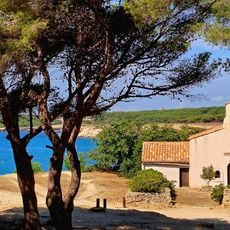
Martigues, Harbor commune between Marseille and Istres, France.
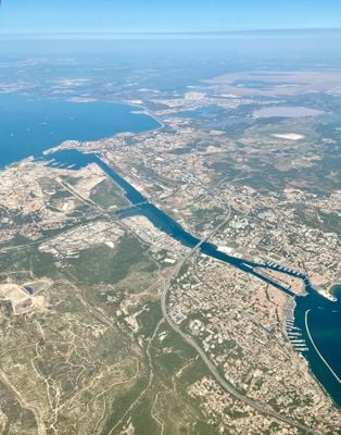
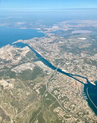
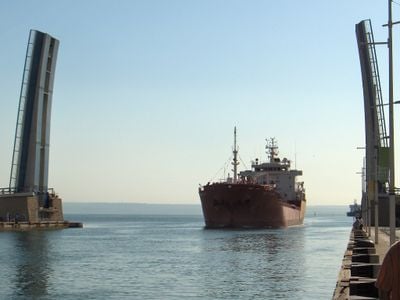
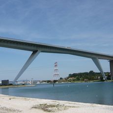
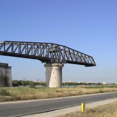
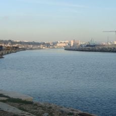
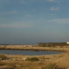
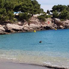
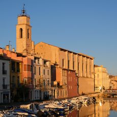
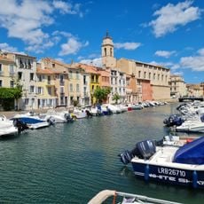
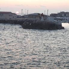
Martigues is a harbor commune between Marseille and Istres that spreads along the Canal de Caronte, linking the Mediterranean Sea with the Etang de Berre lagoon. Multiple bridges span the waterways and connect the different neighborhoods across the canals.
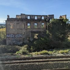
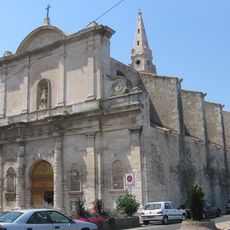
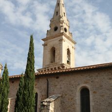
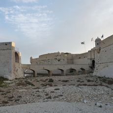
Ramon Berenguer IV founded a settlement in 1232 on the site of the Roman camp Maritima Avaticorum. The location along the canal brought fishermen, merchants, and later industrial activity over the centuries.
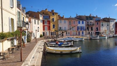
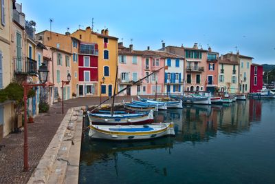
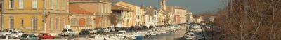
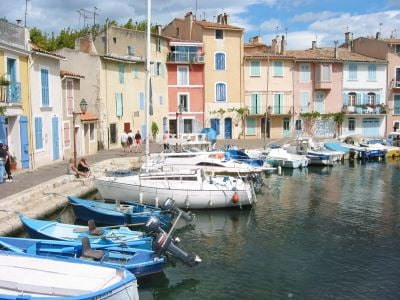
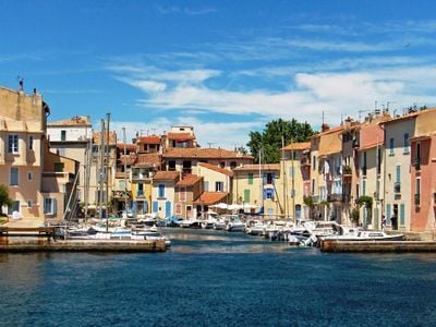
The colorful facades along Miroir aux Oiseaux reflect in the still canal waters, reminiscent of times when artists set up their easels here. Fishermen still tie their boats at the quay today, while cafés along the waterfront invite visitors to linger.
Weekly markets take place on Wednesdays and Sundays, offering regional produce and local crafts. The train station connects the town regularly with Miramas and Marseille, making day trips easy to arrange.
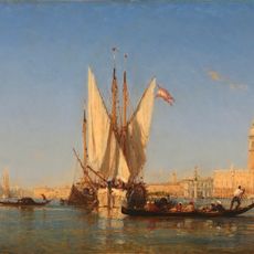
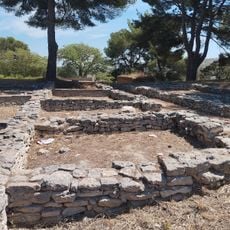
The Ziem Museum preserves archaeological finds from Roman times alongside Impressionist paintings that show how artists captured the light over the canals. The collection links ancient objects with works by regional painters from the 19th and 20th centuries.
Location: Bouches-du-Rhône
Location: arrondissement of Istres
Location: canton of Martigues
Location: Métropole Aix-Marseille-Provence
Elevation above the sea: 52 m
Shares border with: Port-de-Bouc, Saint-Mitre-les-Remparts, Châteauneuf-les-Martigues, Sausset-les-Pins, Berre-l'Étang
Address: Martigues, France
Phone: +33442443333
Email: le-maire@ville-martigues.fr
Website: https://ville-martigues.fr
GPS coordinates: 43.40528,5.04750
Latest update: December 14, 2025 17:02
Viaduc de Martigues
525 m
Pont de Caronte
1.9 km
Canal de Marseille au Rhône
1.7 km
Phare de Cap Couronne
8.9 km
Plage de Carro petite plage
8.2 km
Tamaris
9 km
Maison du chemin de Paradis
461 m
Musée Ziem
654 m
Plage du Verdon
8.1 km
Église Sainte-Madeleine-de-l'Île de Martigues
584 m
Phare du fort de Bouc
5.2 kmChâteau de Ponteau
4 km
Église Saint-Genest de Martigues
604 mOppidum de Saint-Pierre
4.1 km
Chapelle de l'Annonciade de Martigues
585 m
Fort de Bouc
5.1 kmGisement du Collet Redon
596 m
Plage des Laurons
5.8 km
Plage de la Saulce
8.3 km
Plagette du Four à Chaux
8.9 kmÉcole maternelle de Ferrières
232 m
Plage de Ferrières
861 m
Plage naturiste de Bonnieu
7.2 km
Plage de Sainte-Croix
8.4 km
Marché de Carro
8.3 kmLes Tardieux observatory
6 km
Chapelle Sainte-Croix de La Couronne
8.5 km
Phare de Carro
8.4 kmVisited this place? Tap the stars to rate it and share your experience / photos with the community! Try now! You can cancel it anytime.
Discover hidden gems everywhere you go!
From secret cafés to breathtaking viewpoints, skip the crowded tourist spots and find places that match your style. Our app makes it easy with voice search, smart filtering, route optimization, and insider tips from travelers worldwide. Download now for the complete mobile experience.
A unique approach to discovering new places❞
— Le Figaro
All the places worth exploring❞
— France Info
A tailor-made excursion in just a few clicks❞
— 20 Minutes