Geography of Martinique
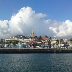
Martinique is an island in the Caribbean shaped by volcanic landforms and part of the French West Indies and Lesser Antilles. The island extends roughly 50 miles (80 km) north to south and 24 miles (35 km) east to west, with no part more than 7 miles (11 km) from the sea.
The island formed through volcanic activity, with Mount Pelée remaining active today and reaching approximately 4600 feet (1400 m) in height. A defining event was the 1902 eruption that destroyed the town of Saint-Pierre and reshaped the landscape permanently.
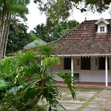
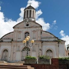
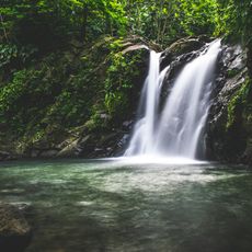
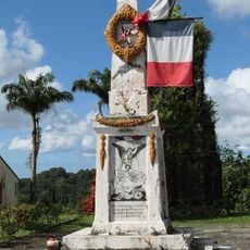
The name Martinique comes from the Taino word "Madinnina", meaning "island of flowers". The island shapes how residents interact with their surroundings, using beaches for fishing and swimming while forests remain integral to local life and agriculture.
The northern mountains are steeper and harder to access, while flatter southern plains are easier to explore. Most settlements sit in the central plains, where level ground and good roads make movement simpler.
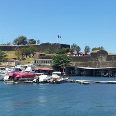
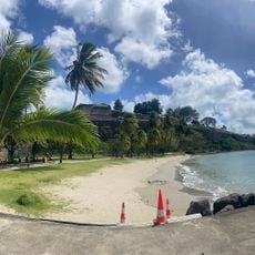
No part of the island lies more than 7 miles (11 km) from the sea, binding daily life closely to the ocean. This proximity to water defines how people use the space and why fishing and water activities remain central to local habits.
The community of curious travelers
AroundUs brings together thousands of curated places, local tips, and hidden gems, enriched daily by 60,000 contributors worldwide.