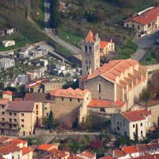
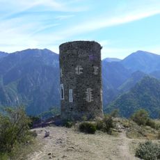
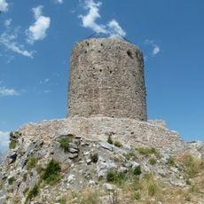
Cime des Cunis, Mountain summit in Casteil, France
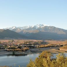
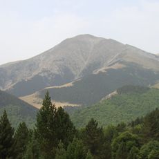
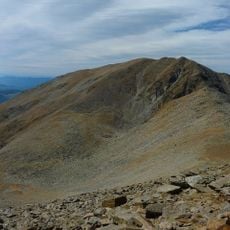
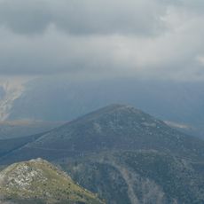
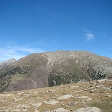
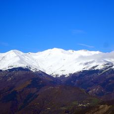
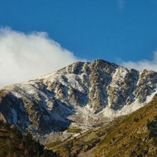
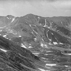
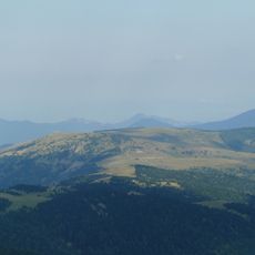
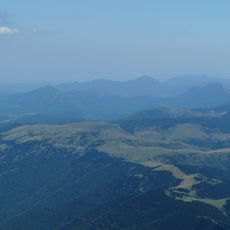
Cime des Cunis is a mountain summit in the Pyrenees located at 2186 meters elevation in the eastern section of the range. The peak sits within reach of hikers of different abilities through established routes that cross varied terrain and vegetation zones.
The summit formed through geological processes over multiple geological periods that shaped the Pyrenees mountain range. These natural mountain-building forces created the current landscape and terrain that hikers traverse today.
Local mountaineers gather at the summit to exchange knowledge about climbing routes and maintain the traditions of mountain exploration.
Marked trails with clear signage guide visitors of varying skill levels to the summit. The routes are well-maintained and take hikers through different elevation zones with manageable ascents.
The peak maintains its position at coordinates 42°28'4.591"N and 2°25'1.650"E, serving as a crucial reference point for mountain navigation.
The community of curious travelers
AroundUs brings together thousands of curated places, local tips, and hidden gems, enriched daily by 60,000 contributors worldwide.