Pic Lakhoura, Mountain summit in Pyrénées, France
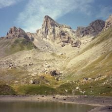
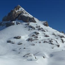
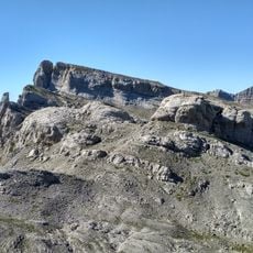
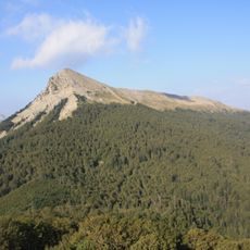
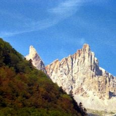
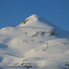
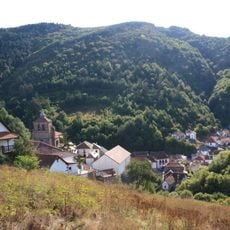
Pic Lakhoura is a mountain summit in the French Pyrenees reaching 1,814 meters (5,951 feet) in elevation. It rises from a rocky landscape with views across surrounding mountain ridges and high plateaus.
The peak appeared on the 1815 Carte de Cassini as Laccoura Mt and later as Lacoura on maps between 1820 and 1866. These early records document how the mountain has been tracked through European surveying history.
The name Lakhoura comes from the Basque word lakhar, meaning rocky place. This connection to local language reflects the region's Basque heritage.
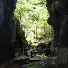
Two main hiking routes lead to the summit: one through the Gorges d'Ehujarre and another via Pic de Cortaplana, both involving significant elevation gain. Both paths require sturdy footwear and experience navigating rocky terrain.
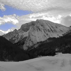
The mountain features a steep scree slope overlooking the Plateau d'Erraitzé below. A nearby secondary summit called Lakora sits close to the Spanish border and is visible from the main peak.
The community of curious travelers
AroundUs brings together thousands of curated places, local tips, and hidden gems, enriched daily by 60,000 contributors worldwide.