Flade Isblink, Ice cap in Northeast Greenland National Park, Greenland.
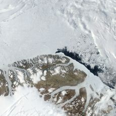
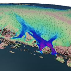
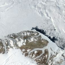
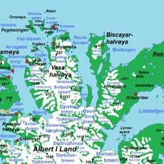
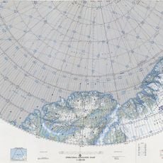
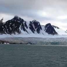
Flade Isblink is a flat ice cap covering most of the northern part of Crown Prince Christian Land in King Frederick VIII Land, northeastern Greenland. It is the largest independent ice cap in Greenland, separate from the Greenland ice sheet, with an area of about 8,500 km2 over bedrock roughly 100 m above sea level. It has two ice domes, the North Dome and the larger South Dome, and Kilen, a roughly triangular stretch of unglaciated flat land, lies on the eastern shore with its apex between the two domes.
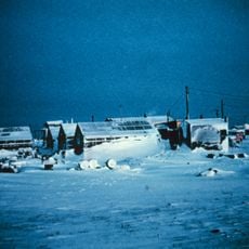
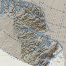
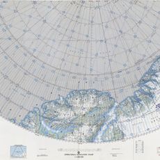
Lauge Koch named Flade Isblink in 1933, during the 1931–34 Three-year expedition to East Greenland. On that expedition's survey flights he produced the first maps of the area. The ice cap lies on Crown Prince Christian Land, and Station Nord, the region's only inhabited place, stands to the northwest off the ice.
The name Flade Isblink was given by Lauge Koch in 1933, during the 1931–34 Three-year expedition to East Greenland, when he made the first survey flights over the area. The only inhabited place in the region is Station Nord, northwest of the ice cap and outside its area; the ice cap itself has no settlements or traditions attached to it.
Flade Isblink lies in Northeast Greenland National Park, with Station Nord, the region's only inhabited place, off the ice cap to the northwest. There are no roads, trails or marked routes on the ice; access is by air to Station Nord and then over snow or ice. The nearest land features are Kilen on the eastern shore and the Princess Elizabeth Alps to the southwest.
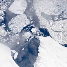
In 2015, water from an underground lake broke through the ice surface, creating a mitten-shaped depression. This unusual feature reveals the dynamic processes happening beneath and on top of the ice.
The community of curious travelers
AroundUs brings together thousands of curated places, local tips, and hidden gems, enriched daily by 93,196 contributors worldwide.