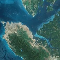
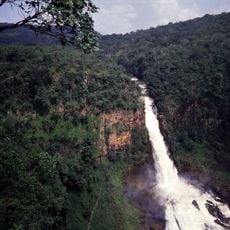
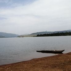
Tembakounda, Source point of the Niger River in Fouta Djallon Mountains, Guinea.
Tembakounda is the source point where the Niger River begins in the Fouta Djallon Mountains of Guinea, marking the start of its long journey across West Africa. The site sits at a high elevation where water flows from local springs and mountain runoff into the river's first channel.
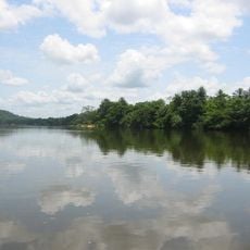
The Niger River emerged from this location and became a vital passage for trade connecting inland regions to coastal areas throughout history. This importance for commerce made the region part of major West African trade networks.
The water here supports local farming and daily life for people living nearby who depend on it for drinking, washing, and tending small fields. This relationship with the river shapes how the community has organized itself.
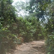
The location sits high in the mountains and requires solid hiking gear and physical preparation to visit. It helps to go with someone from the area who knows the terrain and can guide you safely to the source.
The Niger is one of the few major African rivers that starts quite close to the Atlantic coast, then curves far inland before flowing back toward the sea. This unusual path makes it stand out among the great rivers of West Africa.
The community of curious travelers
AroundUs brings together thousands of curated places, local tips, and hidden gems, enriched daily by 60,000 contributors worldwide.