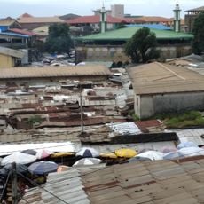
Guinea, Nation in West Africa, surrounded by six countries and the Atlantic Ocean
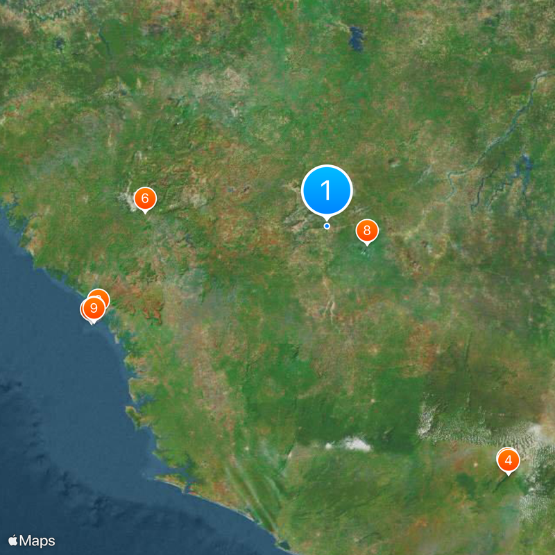
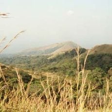
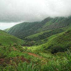
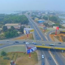
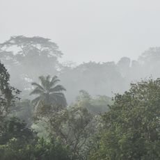
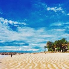
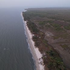
Guinea is a West African nation along the Atlantic coastline bordering Senegal, Mali, Ivory Coast, Liberia, Sierra Leone and Guinea-Bissau that covers around 95,000 square miles (246,000 square kilometers). The landscape divides into four main zones: coastal plains in the west, highland plateaus in the center, savanna grasslands in the northeast and thick forest regions in the southeast.
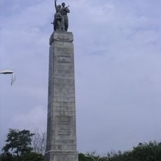
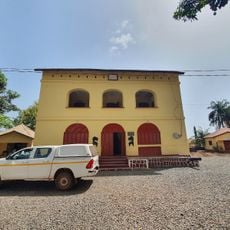
The region formed part of the Mali Empire from the ninth century onward and later the Songhai Empire before Portuguese merchants reached the coast in the fifteenth century. France built colonial authority during the late nineteenth century, incorporating it into French West Africa until October 2, 1958, when independence was declared.
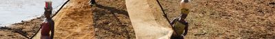
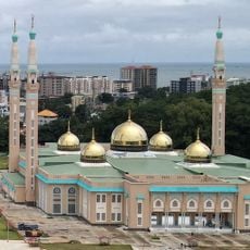
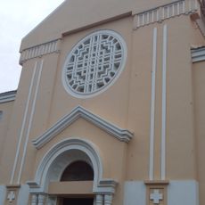
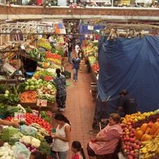
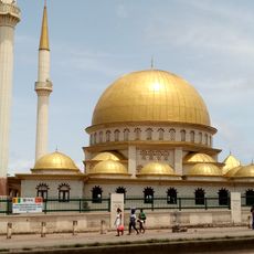
The population practices diverse religious traditions, with Islamic customs coexisting alongside indigenous belief systems that shape daily routines and community life. Over twenty ethnic groups inhabit the territory, each maintaining distinct cultural expressions through music, textiles and social structures that preserve regional identities across generations.
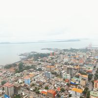
Visiting works best between November and April during the dry months when roads stay accessible and heat becomes easier to tolerate. Flights land in Conakry, while crossing borders with nearby countries by land asks for patience and flexible schedules because road conditions change with weather and upkeep.
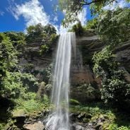
The Fouta Djallon highlands work as West Africa's water source, where major rivers like the Niger, Senegal and Gambia start their course and reach millions across neighboring territories. The country holds about one third of the world's bauxite reserves and ranks sixth in production, with notable gold and diamond deposits spread across the land.
The community of curious travelers
AroundUs brings together thousands of curated places, local tips, and hidden gems, enriched daily by 60,000 contributors worldwide.