Katikankanjoni, Canyon formation in Lauhanvuori-Hämeenkangas Geopark, Finland.
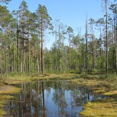
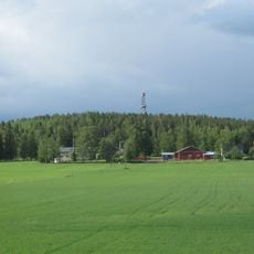
Katikankanjoni is a deep canyon system in Lauhanvuori-Hämeenkangas Geopark featuring streams that flow through sandy terrain, creating steep slopes forested with pine trees. The layered structure shows how water has carved multiple channels and ridges over time.
The canyon developed gradually over about 9,000 years as water from surrounding mires and lakes flowed through the sandy ground, steadily carving the landscape. This extended period of water movement created the steep ravines visible today.
Natural springs within Katikankanjoni, including Uhrilähde, were considered healing places where people sought remedies for various health conditions.
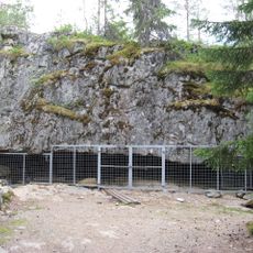
Marked trails lead through the canyon with several entry points and information boards explaining geological features. Paths can become slippery depending on weather conditions, so appropriate footwear is helpful.
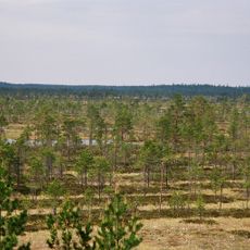
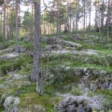
The area contains distinctive depressions called suppas, formed during the last Ice Age when melting ice created hollow formations. These glacial features remain clearly visible in the landscape today.
The community of curious travelers
AroundUs brings together thousands of curated places, local tips, and hidden gems, enriched daily by 60,000 contributors worldwide.