Virovitica-Podravina County, Administrative region in eastern Croatia.
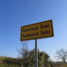
Virovitica-Podravina County is an administrative region in eastern Croatia covering approximately 2,000 square kilometers in northern Slavonia. The area includes several larger towns like Virovitica, Slatina, and Orahovica that serve as economic and administrative centers, and is characterized by flat agricultural landscapes.
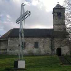
The area was under Ottoman rule from the 16th to the 17th century and later became part of the Habsburg Empire. This period shaped the population structure and cultural boundaries that remain visible in the region today.
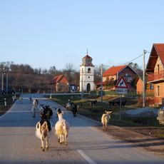
The region has a strong agricultural identity visible in village festivals and local markets, where traditional crafts and regional specialties continue to be practiced. This connection to the land and the seasons shapes how communities gather and share their daily lives.
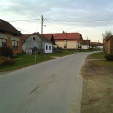
The area is shaped by an agricultural infrastructure with Virovitica serving as the administrative center where local services and markets concentrate. The flat terrain makes it relatively easy to navigate, and the region is suitable for exploring the landscape and smaller towns at your own pace.
The population here has shrunk significantly over recent decades as people have migrated to larger cities and other countries seeking better opportunities. This shift has reshaped the local economy and the character of many villages in the region.
The community of curious travelers
AroundUs brings together thousands of curated places, local tips, and hidden gems, enriched daily by 60,000 contributors worldwide.