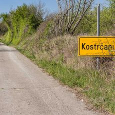
Polje Čepić, Rural settlement in Kršan, Croatia.
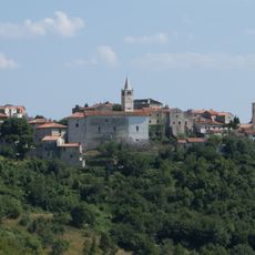
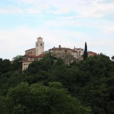
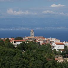
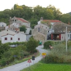
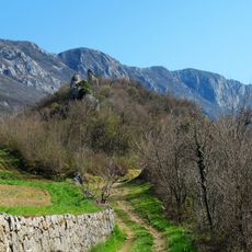
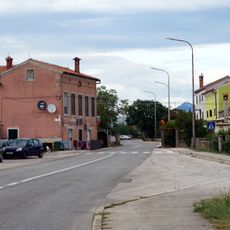
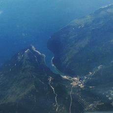
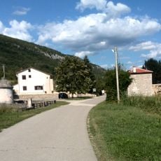
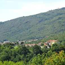
Polje Čepić is a rural settlement in eastern Istria County sitting at approximately 40 meters elevation across fertile lands. These productive fields developed on territory that once formed part of a lake basin.
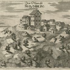
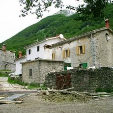
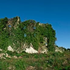
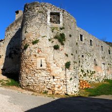
The settlement became part of the Kožljak castle estate in 1102 when Ulric II granted the territory to the Patriarchate of Aquileia. This early medieval connection shaped its long-term development.
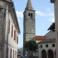
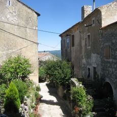
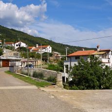
The settlement is split into two distinct areas: Kloštar organized around its religious buildings, and Purgarija serving as the residential quarter.
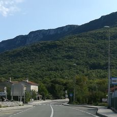
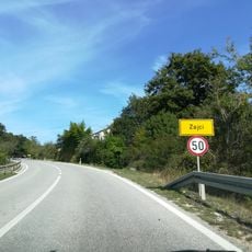
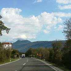
State road D64 connects this settlement directly to larger towns in the region, making it easy to reach by car. The location offers good accessibility for those exploring the surrounding Istrian area.
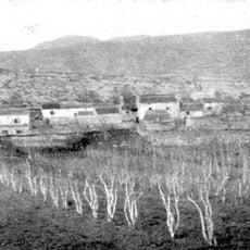
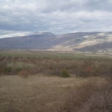
The village shifted from a fishing community to an agricultural center after Lake Čepić was drained in 1930. This transformation created productive farmland where water once dominated the landscape.
The community of curious travelers
AroundUs brings together thousands of curated places, local tips, and hidden gems, enriched daily by 60,000 contributors worldwide.