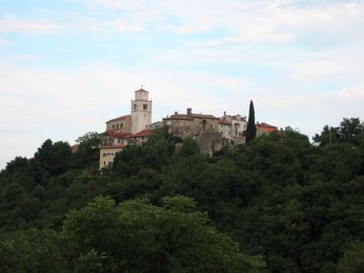
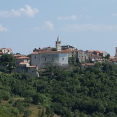
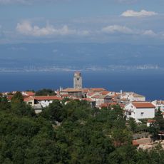
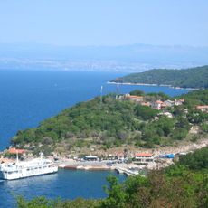
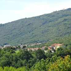
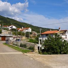
Mošćenice, Medieval settlement in Kvarner Gulf, Croatia.
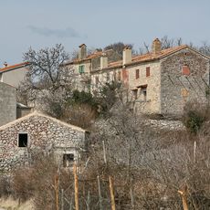
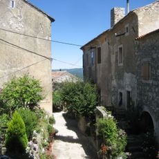
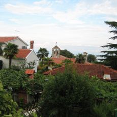
Mošćenice is a historic settlement perched on a hillside above the sea, where stone buildings line narrow pathways that wind through the village. The layout follows the natural slope of the terrain, creating small squares and viewpoints that look out toward the coast.
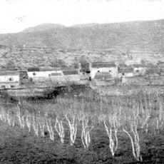
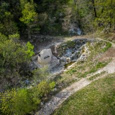
This area first developed under Roman rule, then was resettled by Croat groups during the early Middle Ages, making it one of the oldest inhabited places on this coast. The layers of these two periods shaped the settlement's character for centuries to come.
During Easter, the community gathers for a local egg-piercing competition where people aim to crack shells with coins in a centuries-old contest. This tradition reveals how customs from the past remain woven into the rhythm of daily life here.
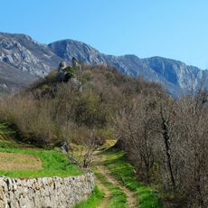
The settlement can be reached by climbing stairs from below or walking up the road through the village, depending on your preference and fitness level. Good shoes are essential since the paths are uneven and can be quite steep in places.
A traditional olive press operates here using methods from centuries past, processing olives in the same way that residents have done for generations. This working facility gives visitors a glimpse into how agriculture shaped life in this region.
The community of curious travelers
AroundUs brings together thousands of curated places, local tips, and hidden gems, enriched daily by 60,000 contributors worldwide.