Katina Glava, Berggipfel in Kroatien
Location: Split-Dalmatia County
GPS coordinates: 43.62000,16.56639
Latest update: August 1, 2025 02:33
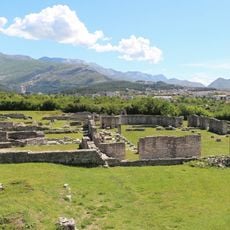
Salona
11.2 km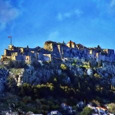
Klis Fortress
7.5 km
Mali Kozjak
13.8 km
Žrnovnica
11 km
Vranjic
12.5 km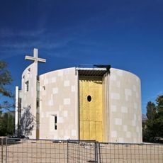
Church of Holy Family in Solin
11.2 km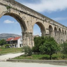
Diocletianus Aqueduct
11.5 km
Brda (Split)
13.5 km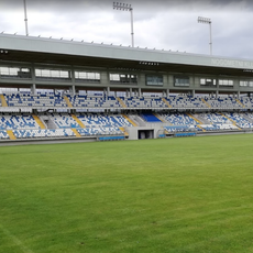
Stadion Hrvatski vitezovi
3.6 km
Mravince
10.5 km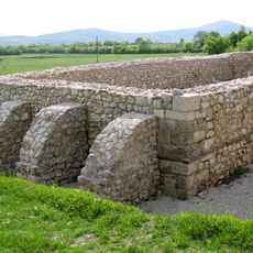
Tilurium
12.1 km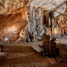
Vranjača cave
9.2 km
Bisko
10.3 km
Sinjsko Polje
12.1 km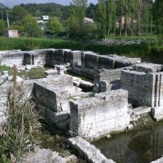
Hollow Church
10.5 km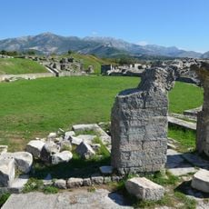
Roman amphitheatre of Salona
11.7 km
Kučine, Solin
10.1 km
Stari grad
10.6 km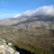
Gornje Sitno
12 km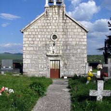
Gardun
12.3 km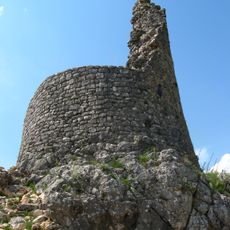
Nutjak
12.4 km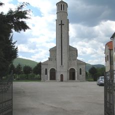
Kraj, Dicmo
2.4 km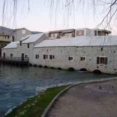
Gašpa's mill
10.6 km
Prugovo
7 km
Stella Croatica
5.9 km
Kuk Castle
9.9 km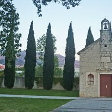
Church of Saint Domnius in Split
12.5 km
Klášter milosrdných sester služebnic v Kaštel Sućuraci
13.5 kmReviews
Visited this place? Tap the stars to rate it and share your experience / photos with the community! Try now! You can cancel it anytime.
Discover hidden gems everywhere you go!
From secret cafés to breathtaking viewpoints, skip the crowded tourist spots and find places that match your style. Our app makes it easy with voice search, smart filtering, route optimization, and insider tips from travelers worldwide. Download now for the complete mobile experience.

A unique approach to discovering new places❞
— Le Figaro
All the places worth exploring❞
— France Info
A tailor-made excursion in just a few clicks❞
— 20 Minutes