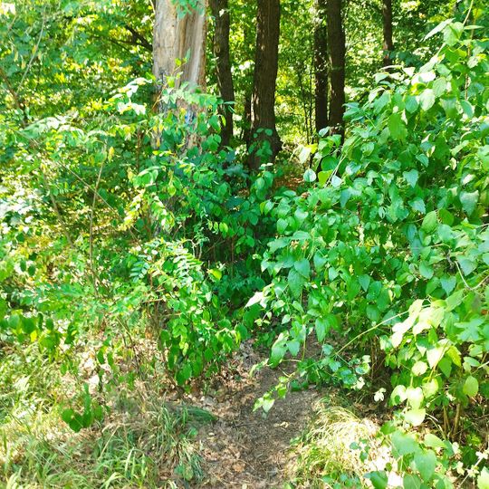
Dedevár, A castle in Hungary.
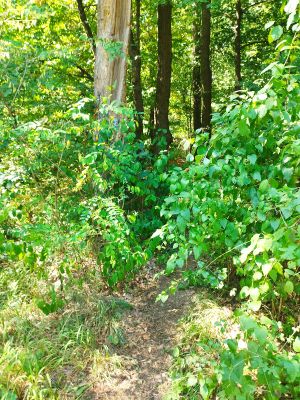
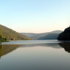
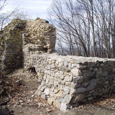
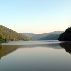
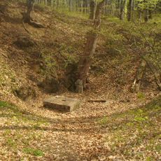
Dedevár is a ruined castle on the westernmost spur of Fekete-kő-tető above the northern shore of the Lázbérci Reservoir, about 1 km east of Uppony. Its triangular layout measures 11 m from the rounded western tip, 3 m long, to the 8 m eastern base, covering 60 m². A square tower of about 7 m² probably stood here, defended by a moat on the east; traces of an unidentified dig are visible in the centre.
Dedevár was probably built in the Árpád period, but no charter mentions it and the date of its destruction is unknown. No archaeological excavation has been carried out; only a contour survey by Gyula Nováki and György Sándorfi records the site, and traces of an unidentified dig are visible in its centre.
No written record explains the name Dedevár, and no excavation has been carried out on the site, so its medieval use is unknown. What visitors see today is a triangular plot of about 60 m² on the western spur of the Fekete-kő-tető, above the northern shore of the Lázbérci Reservoir, 1 km east of Uppony. The castle's layout was surveyed by Gyula Nováki and György Sándorfi.
Dedevár lies about 1 km east of Uppony, on the westernmost spur of the Fekete-kő-tető above the northern shore of the Lázbérci Reservoir. No archaeological excavation has been carried out and no on-site signs mark the ruins, so approach with a map and expect only earthworks and the traces of a cistern in the centre.
No archaeological excavation has ever been carried out at Dedevár, and no written record mentions it. The only survey of its layout was made by Gyula Nováki and György Sándorfi, who mapped the triangular earthwork by contour lines. In the middle of the site, traces of an unidentified dig are still visible.
The community of curious travelers
AroundUs brings together thousands of curated places, local tips, and hidden gems, enriched daily by 92,618 contributors worldwide.