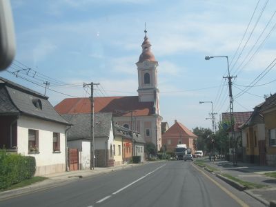
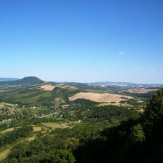
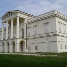
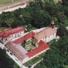
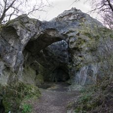
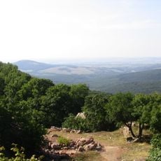
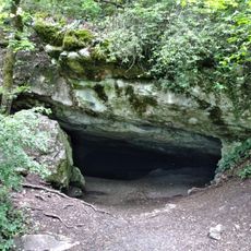
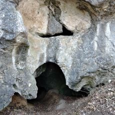
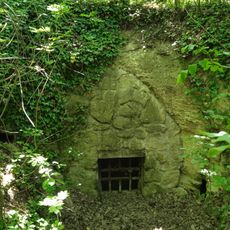
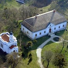
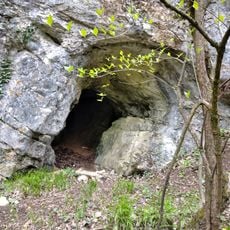
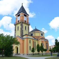
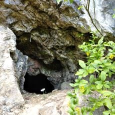
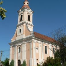
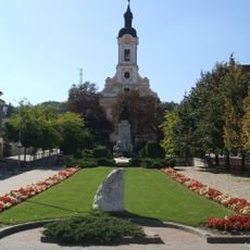
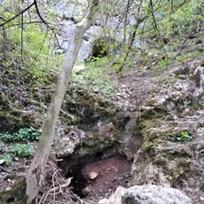
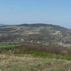
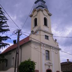
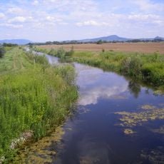
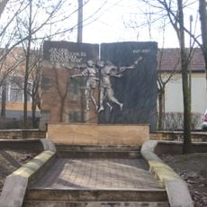
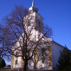
Nyergesújfalu, town in Komárom-Esztergom county in northern Hungary
Location: Esztergom District
Shares border with: Tát, Mogyorósbánya, Bajót, Nagysáp, Bajna, Héreg, Süttő, Lábatlan, Mužla, Obid
Website: http://nyergesujfalu.hu
GPS coordinates: 47.76028,18.55667
Latest update: March 12, 2025 04:33
Gerecse Mountains
6.7 km
Sándor-Metternich Mansion
12.4 km
Péiföldszentkereszt
6.1 km
Jankovich Cave
4.3 km
Pisznice Cave
8.2 km
Gerecse Protected Landscape Area
15.7 km
Bajnai Öreg Hole
13.5 km
Szalay Cave
4.3 km
Bajóti Büdös Cave
6.1 km
Reviczky Mansion, Süttő
8.8 km
Öreg-kői No. 2. Pothole
3.7 km
Kiskő-oldali Cave
3.9 km
Öreg-kő No. 1. Pothole
4.2 km
Castrum Crumerum
1.5 km
Baits Cave
4.3 km
Saint Barbara church in Dorog
13.5 km
Húsvét Cave
3.8 km
Dunaj
5.1 km
Bajóti Lepkés Cave
3.6 km
Kiskő-oldali No. 2. Cave
4 km
Saint Michael Church in Nyergesújfalu
769 m
Saint Joseph church in Dorog
13.8 km
Bajóti Ördög Cave
3.7 km
Kő-hegy
6 km
Saint Anthony of Padua Church
16.6 km
Čenkovská niva
5.9 km
Memorial of relocation in Dorog
13.8 km
Kalvínsky kostol
11.3 kmReviews
Visited this place? Tap the stars to rate it and share your experience / photos with the community! Try now! You can cancel it anytime.
Discover hidden gems everywhere you go!
From secret cafés to breathtaking viewpoints, skip the crowded tourist spots and find places that match your style. Our app makes it easy with voice search, smart filtering, route optimization, and insider tips from travelers worldwide. Download now for the complete mobile experience.
A unique approach to discovering new places❞
— Le Figaro
All the places worth exploring❞
— France Info
A tailor-made excursion in just a few clicks❞
— 20 Minutes