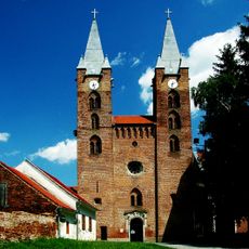
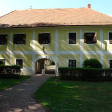
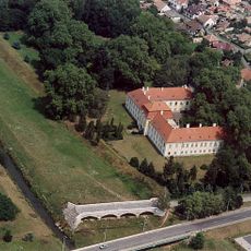
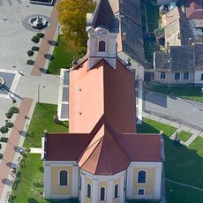
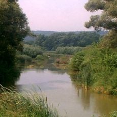
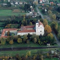
Zalaszentgrót District, districts of Hungary in Zala
Location: Zala County
Inception: January 1, 2013
Capital city: Zalaszentgrót
Shares border with: Zalaegerszeg District, Keszthely District, Sárvár District, Vasvár District, Sümeg District
GPS coordinates: 46.92070,17.10095
Latest update: March 14, 2025 13:23
Peace Stupa Zalaszántó
9.2 km
Festetics Palace
19.9 km
Sümeg Castle
15.4 km
Rezi Castle
12.3 km
Castle of Egervár
18.3 km
Hévíz Springcave
16.4 km
Church of the Annunciation in Türje
7.2 km
Mary Magdalene church in Egregy
14.3 km
Saint Anne Round Church in Kallósd
6.2 km
Lake Hévíz Protected Area
16.4 km
Cserszegtomaj Wellcave
15.9 km
Episcopal palace, Sümeg
15.1 km
Vadlán Hole
5.7 km
Deák Mansion, Kehida
8.6 km
Roman Catholic church in Búcsúszentlászló
19.4 km
Kiskastély (Zalaszentgrót)
3.3 km
Stone Bridge
3.3 km
Saint Emeric Church, Zalaszentgrót
3.4 km
Upper Válicka
17.9 km
Calvary chapel (Búcsúszentlászló)
19.3 km
Saint Dominic church in Várvölgy
16.1 km
Church of the Holy Spirit Hévíz
15.8 km
Monasterio de Premontrei (Türje)
7.2 km
Church of the Annunciation, Kehida, Kehidakustány
8.7 km
Franciscan monastery (Búcsúszentlászló)
19.3 km
Szent Lukács-templom
12.6 km
Preĝejo Sanktaj Kosmaso kaj Damiano
10.4 km
Szeplőtelen Fogantatás templom
12.8 kmReviews
Visited this place? Tap the stars to rate it and share your experience / photos with the community! Try now! You can cancel it anytime.
Discover hidden gems everywhere you go!
From secret cafés to breathtaking viewpoints, skip the crowded tourist spots and find places that match your style. Our app makes it easy with voice search, smart filtering, route optimization, and insider tips from travelers worldwide. Download now for the complete mobile experience.
A unique approach to discovering new places❞
— Le Figaro
All the places worth exploring❞
— France Info
A tailor-made excursion in just a few clicks❞
— 20 Minutes