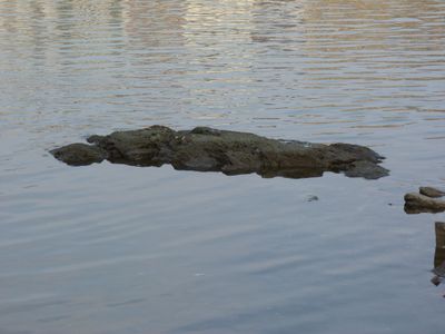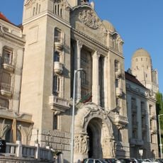
Rock of Famine, Reef formation in Budapest District XI, Hungary.
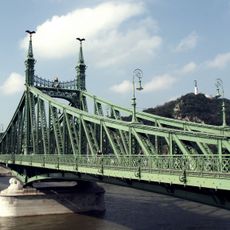
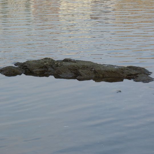
The Rock of Famine is a low, elongated mass of silicified Eocene sandstone in the Danube riverbed at the foot of Gellért Hill, 20–30 metres from the Raul Wallenberg embankment and 60–70 metres north of Liberty Bridge. Its rough, mottled dark brown, grey and greenish-black surface is widest and highest toward the left and centre, tapering into smaller fragments on the right. It lies at 95.76 metres above sea level, the lowest point of Budapest.
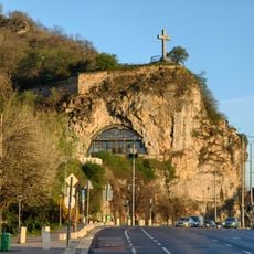
Until the late 19th century, several large rocks stood at the foot of the hill beneath the Cave Church, and the Rock of Famine was their continuation in the riverbed. When the Szent Gellért quay was built in 1898–1899, the upper rocks were blown up and the outcrops above water disappeared. The rock is silicified Eocene sandstone, as instrument surveys by ELTE and BME researchers established during its 2011 emergence.
The name Ínség-szikla means "famine rock," from ínség (famine) and szikla (rock). Legends explain it: when the shallow water stopped the floating mills, there was no flour, or ferrymen could not operate their boats at the old crossing. The name is sometimes used in the plural, as several small reefs emerge before the rock appears as one piece.
You can see this formation from the Danube riverbank in District XI, best viewed when water levels are low. Walking paths along the river offer the clearest views.
The rock is Budapest's lowest point, at 95.76 m above sea level, and Pest slang calls it "Hungary's lowest mountain peak". It surfaces when the Vigadó tér gauge reads below about 92 cm; on 25 October 2018 the river hit a record low of 33 cm, and wartime wreckage of the nearby Freedom Bridge became visible.
The community of curious travelers
AroundUs brings together thousands of curated places, local tips, and hidden gems, enriched daily by 92,621 contributors worldwide.