
Dunshaughlin, human settlement
Location: Meath
Elevation above the sea: 105 m
GPS coordinates: 53.51180,-6.53950
Latest update: March 9, 2025 11:56
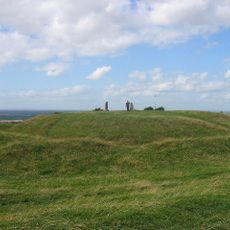
Hill of Tara
9 km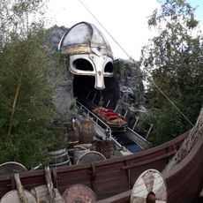
Emerald Park
6.5 km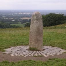
Lia Fáil
8.9 km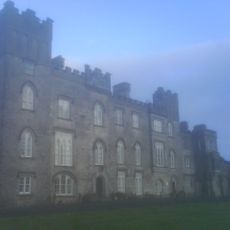
Dunsany Castle and Demesne
6 km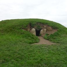
Mound of the Hostages
8.9 km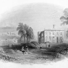
Dangan Castle
14.2 km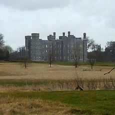
Killeen Castle, Dunsany
3.8 km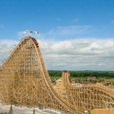
Cú Chulainn
6.1 km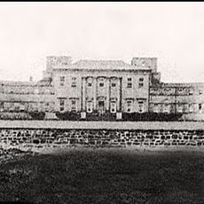
Summerhill House
13.2 km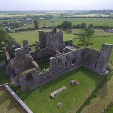
Bective Abbey
13.4 km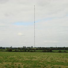
Clarkstown radio transmitter
10.7 km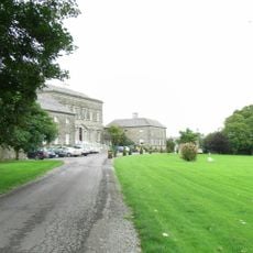
Bellinter House
12.5 km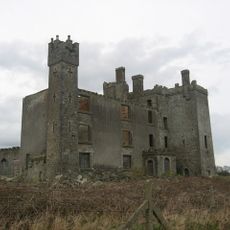
Athcarne Castle
13.9 km
Rath Meave
7.7 km
Skryne Castle
8.1 km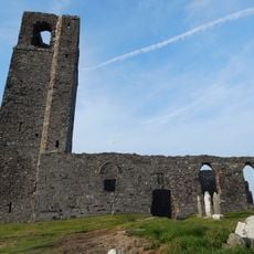
Skryne Church
8.4 km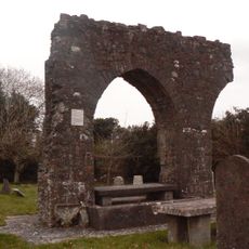
St. Seachnall's Church
265 m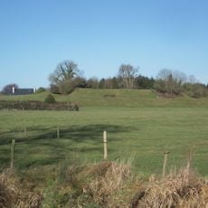
Danestown Fort
12.6 km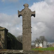
Balrath Cross
12.7 km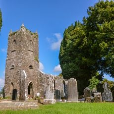
Garristown Church
12 km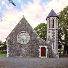
St Thomas's Church (Hollystown)
13.9 km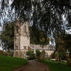
Tara Heritage Centre
9 km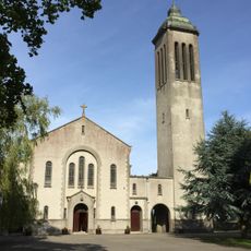
St Peter and Paul's Church
11.1 km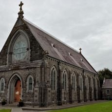
Church of the Assumption (Garristown)
12 km
Garristown Bridge
13.2 km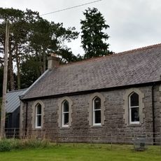
Garristown Carnegie Free Library
12 km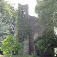
Church of St Nicholas
5.8 km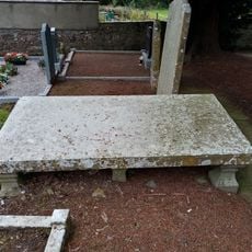
Effigial Slab
12 kmVisited this place? Tap the stars to rate it and share your experience / photos with the community! Try now! You can cancel it anytime.
Discover hidden gems everywhere you go!
From secret cafés to breathtaking viewpoints, skip the crowded tourist spots and find places that match your style. Our app makes it easy with voice search, smart filtering, route optimization, and insider tips from travelers worldwide. Download now for the complete mobile experience.

A unique approach to discovering new places❞
— Le Figaro
All the places worth exploring❞
— France Info
A tailor-made excursion in just a few clicks❞
— 20 Minutes