
Duleek, human settlement in County Meath
Location: Meath
Elevation above the sea: 34 m
GPS coordinates: 53.65510,-6.41660
Latest update: April 26, 2025 20:52
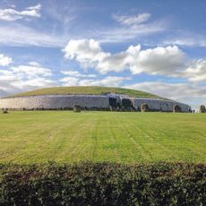
Newgrange
5.9 km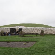
Brú na Bóinne
4.7 km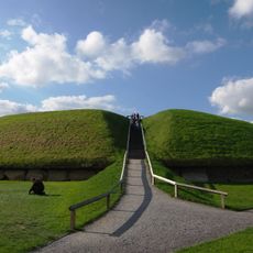
Knowth
7.2 km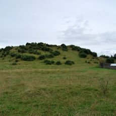
Dowth
5.7 km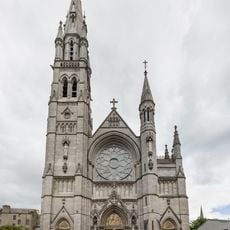
St. Peter's Roman Catholic Church, Drogheda
7.9 km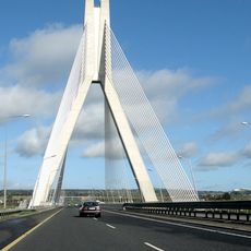
Boyne River Bridge
7.1 km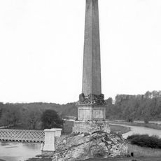
Boyne Obelisk
7.8 km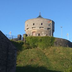
Millmount Fort
7.7 km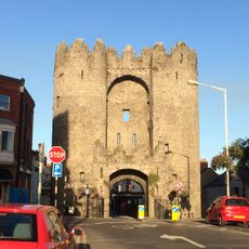
Laurence's Gate
8.2 km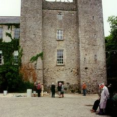
Dardistown Castle
6.7 km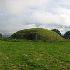
Fourknocks Passage Tomb
8.3 km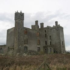
Athcarne Castle
4 km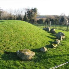
Townleyhall passage grave
7.7 km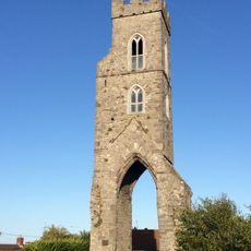
Magdalen Tower
8.2 km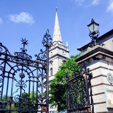
St. Peter's Church of Ireland, Drogheda
7.9 km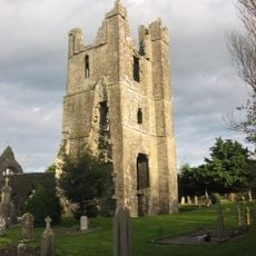
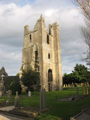
St. Mary's Abbey, Duleek
146 m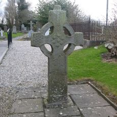
St. Patrick's Church, Duleek
226 m
Calliaghstown Well
6.1 km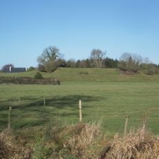
Danestown Fort
7.8 km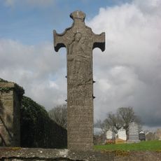
Balrath Cross
6.1 km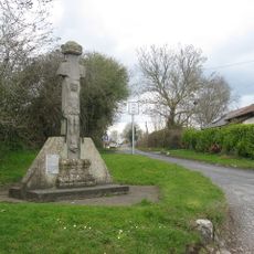
Athcarne Cross
3.8 km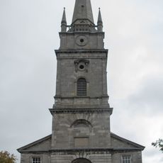
St Peter's Church of Ireland, Drogheda
8.1 km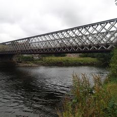
Obelisk Bridge
7.8 km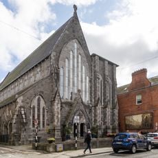
St Augustine's Church
8 km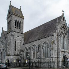
St Mary Magdalen's Church
7.7 km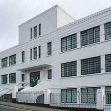
Drogheda College of Further Education
8.3 km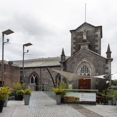
Highlanes Gallery, former St. Francis Church
8.1 kmVisited this place? Tap the stars to rate it and share your experience / photos with the community! Try now! You can cancel it anytime.
Discover hidden gems everywhere you go!
From secret cafés to breathtaking viewpoints, skip the crowded tourist spots and find places that match your style. Our app makes it easy with voice search, smart filtering, route optimization, and insider tips from travelers worldwide. Download now for the complete mobile experience.

A unique approach to discovering new places❞
— Le Figaro
All the places worth exploring❞
— France Info
A tailor-made excursion in just a few clicks❞
— 20 Minutes