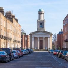
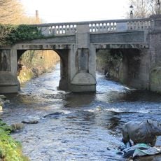
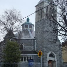
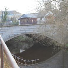
Donnybrook, district of Dublin, Ireland
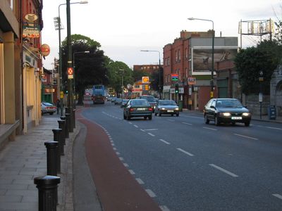
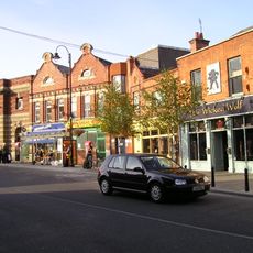
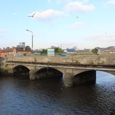
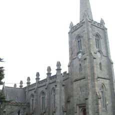
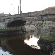
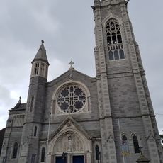
Donnybrook is a residential area in County Dublin that spans several streets and contains a mix of housing, local shops, and green spaces. The settlement shows the typical pattern of an established Dublin neighborhood with Victorian and modern buildings standing side by side.
The area developed over decades from a rural location into an established Dublin neighborhood. Its expansion followed the city's growth in the 20th century and shaped the quarter's current structure.
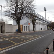
The place is easy to walk through and well connected by public transport, making navigation straightforward. The area is mostly flat and offers various entry points for visitors.
The community of curious travelers
AroundUs brings together thousands of curated places, local tips, and hidden gems, enriched daily by 60,000 contributors worldwide.