Cooley Peninsula, Peninsula with mountains in County Louth, Ireland
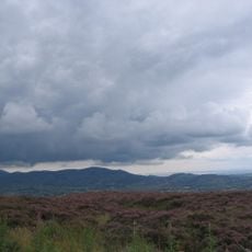
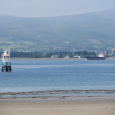
Cooley Peninsula is a landmass in County Louth, on the northeastern coast of Ireland, bounded by Carlingford Lough to the north and Dundalk Bay to the south. The terrain shifts from rocky shoreline to open moorland as you move inland, with Slieve Foy forming the highest ground on the peninsula.
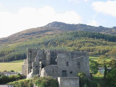
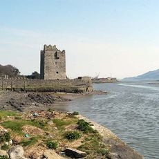
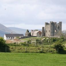
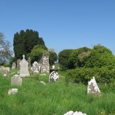
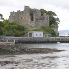
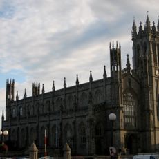
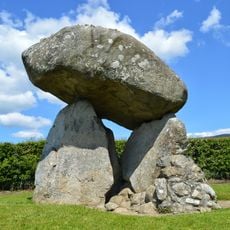
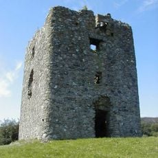
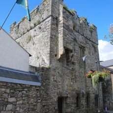
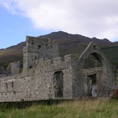
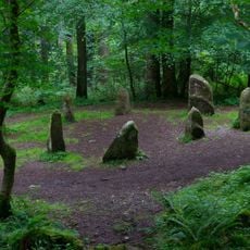
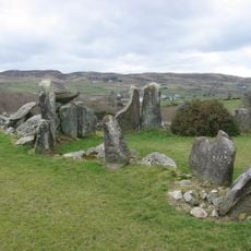
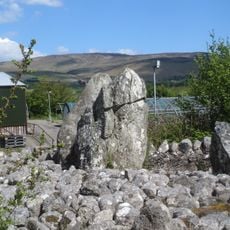
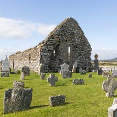
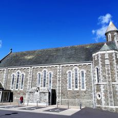
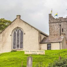
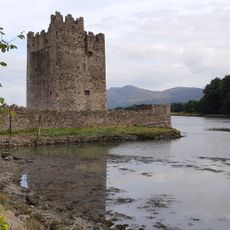
People settled on the peninsula in prehistoric times, leaving behind monuments such as the Proleek Dolmen, a megalithic tomb built thousands of years ago. In the medieval period, Norman settlers established themselves in Carlingford, shaping much of the town that still stands today.
The peninsula is tied to the Irish epic Táin Bó Cúailnge, in which the Brown Bull of Cooley stands at the center of a legendary cattle raid. Place names and sites across the area still echo the story, making it feel present as you walk through.
The peninsula is easiest to explore by car, as the road along Carlingford Lough gives clear access to the coastal villages and the start of walking trails. Carlingford town makes a good base, with options for accommodation and food within easy reach of most parts of the area.
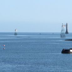
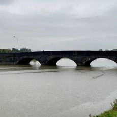
From the northern shore of the peninsula, you look directly across Carlingford Lough into Northern Ireland, making the international border visible as a stretch of open water. This is one of the few places in Ireland where two different jurisdictions face each other across such a narrow crossing.
The community of curious travelers
AroundUs brings together thousands of curated places, local tips, and hidden gems, enriched daily by 60,000 contributors worldwide.