
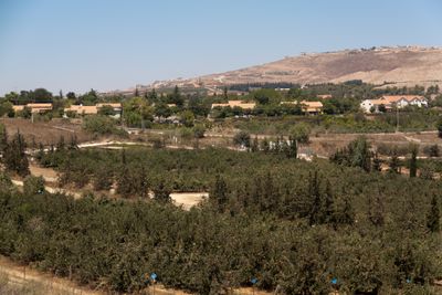
Yir'on, human settlement in Israel
Location: Upper Galilee Regional Council
Inception: 1949
Elevation above the sea: 686 m
Website: http://yiron.org.il
GPS coordinates: 33.07700,35.45490
Latest update: March 10, 2025 12:44
Meron
9.6 km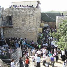
Meron
10.5 km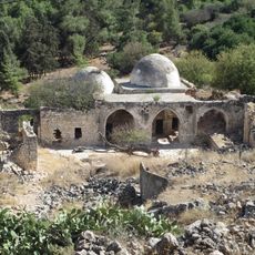
Al-Nabi Yusha'
10.2 km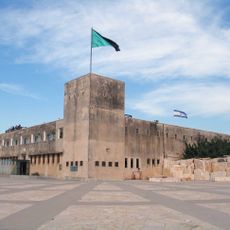
Tegart fort
10.4 km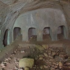
Ancient sites in Gush Halav
5.8 km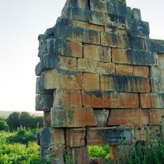
Kedesh
8 km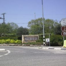
Kerem Ben Zimra
4.5 km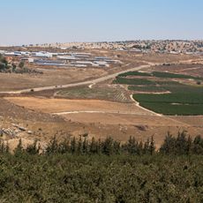
Avivim
2.1 km
Alma
5.1 km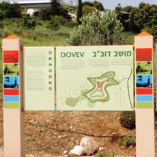
Dovev
5.2 km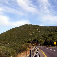
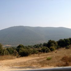
Jebel Adathir
9.2 km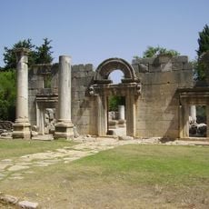
Bar'am National Park
5.3 km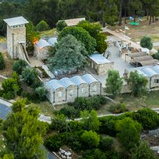
Biria Fortress
10.8 km
Mount Canaan
11.9 km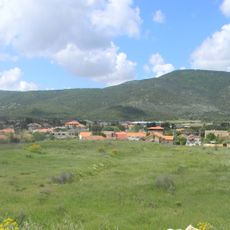
Bar Yohai
8.8 km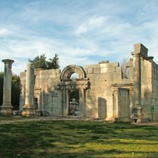
Kfar Bar'am
5.3 km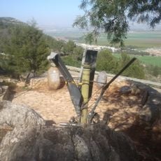
Ran Overlook
10.6 km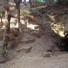
Pa'ar Cave
8.2 km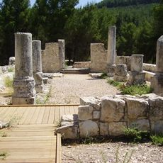
Nabratein synagogue
11.1 km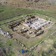
Merot
8.6 km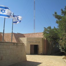
HaReut Museum
10.4 km
Ramot Naftali Fortress
9.2 km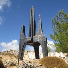
37th Armored Brigade Memorial
8.8 km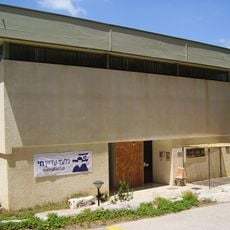
Bar-David Museum of Art and Judaica
2.9 km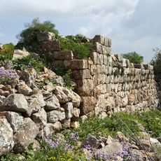
Keren Naftali Castle
10.1 km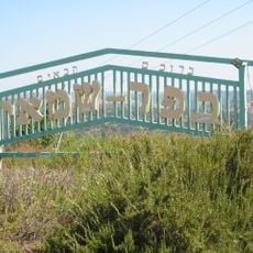
Har Mesarevim
11.9 km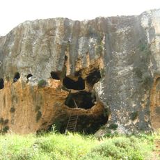
Me‘arat H̱aniyya
1.3 km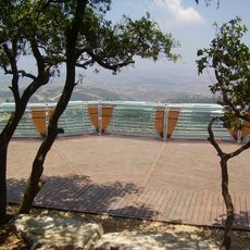
Mount Adir Lookout
9.6 kmReviews
Visited this place? Tap the stars to rate it and share your experience / photos with the community! Try now! You can cancel it anytime.
Discover hidden gems everywhere you go!
From secret cafés to breathtaking viewpoints, skip the crowded tourist spots and find places that match your style. Our app makes it easy with voice search, smart filtering, route optimization, and insider tips from travelers worldwide. Download now for the complete mobile experience.

A unique approach to discovering new places❞
— Le Figaro
All the places worth exploring❞
— France Info
A tailor-made excursion in just a few clicks❞
— 20 Minutes