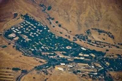
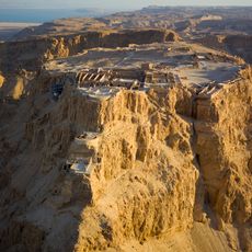
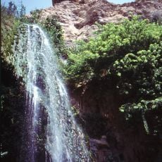
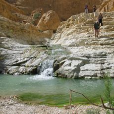
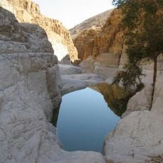
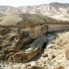
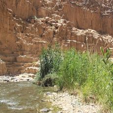
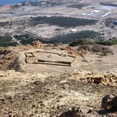
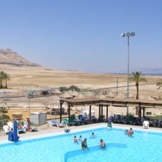
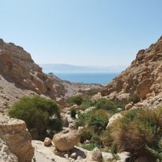
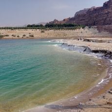
Ein Gedi, kibbutz
Location: Tamar Regional Council
Inception: 1953
Founders: Nahal
Elevation above the sea: -300 m
Website: http://eingedi.co.il
GPS coordinates: 31.45000,35.38333
Latest update: April 20, 2025 15:12
Masada
15.2 km
Ein Gedi
2.1 km
Cave of Horror
5.2 km
Cave of Letters
4.3 km
Arugot Stream
2 km
David Stream
2.5 km
Masada cableway
15.2 km
Ein Gedi synagogue
1.5 km
Ma'on, Har Hebron
21.2 km
Wadi Murabba'at
15.4 km
Mujib Biosphere Reserve
20 km
Chalcolithic Temple of Ein Gedi
2.1 km
Ein Gedi Spa
3.7 km
Masada synagogue
15 km
Ein Gedi Botanical Gardens
3 m
The Byzantine church
15.2 km
Ein Gedi Eco Park
362 m
Qarn al Ḩajar
23.3 km
Khirbat ath Tha‘lā'
18.1 km
Ad Dayrāt
20.9 km
An Najādah
16.9 km
Ra's al Manqūshīyah
10.2 km
Al Buwayb
22 km
At Tuwānī
22.2 km
Maghārat an Naşrānīyah
11.5 km
Salt Beach
16.7 km
Mughr Şufayy
19.6 km
Maghārat Umm Ja‘dah
20.3 kmReviews
Visited this place? Tap the stars to rate it and share your experience / photos with the community! Try now! You can cancel it anytime.
Discover hidden gems everywhere you go!
From secret cafés to breathtaking viewpoints, skip the crowded tourist spots and find places that match your style. Our app makes it easy with voice search, smart filtering, route optimization, and insider tips from travelers worldwide. Download now for the complete mobile experience.
A unique approach to discovering new places❞
— Le Figaro
All the places worth exploring❞
— France Info
A tailor-made excursion in just a few clicks❞
— 20 Minutes