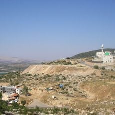
Har Kammon, Mountain summit in Lower Galilee, Israel
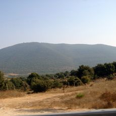
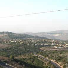
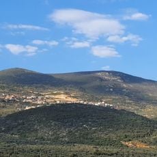
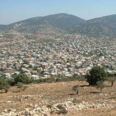
Har Kammon is a mountain ridge in the Lower Galilee with several peaks, the highest reaching 602 meters above sea level, slightly higher than Mount Hazon and Mount Tabor. It lies about five kilometers east of Karmiel, and Nahal Kammon descends from its slopes. The ridge and stream form the Kammon Nature Reserve.
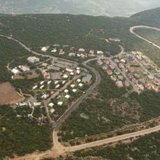
Bedouin of the Suweid tribe grazed their flocks on Har Kammon during the Ottoman period, arriving from the Hula Valley. Jewish settlement began in the 1980s with the founding of the community villages Kammon and Mikhmanim, named after the mountain. The Bedouin village of Kamaneh, on the mountain, was officially recognised by the Israeli government in 1995; its neighbourhoods lacked infrastructure until then, and outline plans were approved during the 2000s.
The name Har Kammon comes from the Arabic Jabal Kammāna, meaning a place of hiding or concealment, and is unrelated to the spice cumin. Three settlements sit on the mountain: Kammon and Mikhmanim, founded in the 1980s, and Kammana, a Bedouin village of the Suweid tribe recognised by Israel in 1995. Jonathan's Trail circles Mikhmanim, named for Jonathan Hadasai, killed in the 2006 Lebanon War.
The mountain is accessible through marked hiking trails with parking available at several points around the base. Visitors should bring proper footwear and water, especially when visiting during warmer months.
The Hebrew name comes from the Arabic Jabal Kammāna, meaning "hiding place or refuge", and has nothing to do with the cumin spice. The three villages on the ridge, Kammon, Mikhmanim and Kammana, all take their names from the mountain.
The community of curious travelers
AroundUs brings together thousands of curated places, local tips, and hidden gems, enriched daily by 92,657 contributors worldwide.