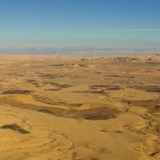
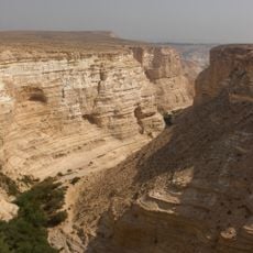
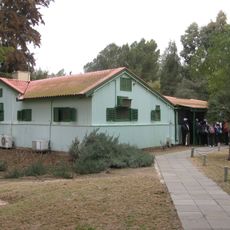
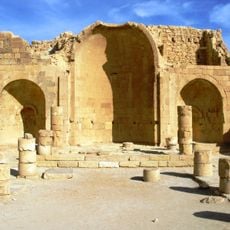
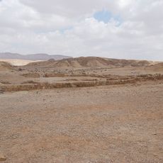
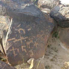
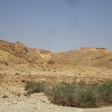
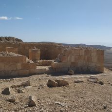
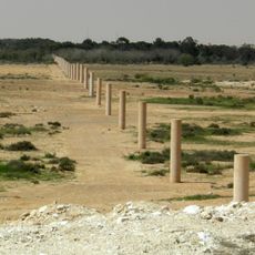
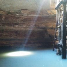
Har Ramon, Mountain summit in Negev Desert, Israel.
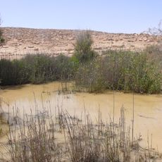
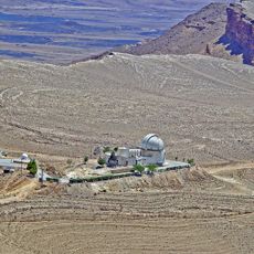
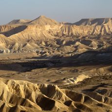
Har Ramon is the highest summit in the Negev Desert, featuring striking rock formations and wide views across the surrounding landscape. The peak displays layered geological structures shaped by wind and water erosion over millennia.
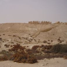
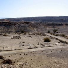
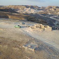
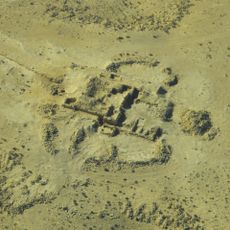
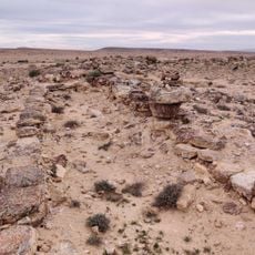
During Operation Ovda in 1949, a Negev Brigade force camped on Har Ramon on its way to Eilat; the severe cold on the summit froze the unit's trucks and delayed the advance. The peak also holds a field of stone cairns used as tombs in the Middle Bronze Age, and the 4.6 km "K Line", a low stone wall running east-west, linked the settlements on Har Ramon with those on Har Romem.
The Arabic name Ras Raman is preserved in the Hebrew form Har Ramon. On the summit lies a field of stone heaps (tumuli) from the Middle Bronze Age, and nearby runs the 4.6 km "K Line", a low stone wall kept on an east–west axis that linked the settlements on Mount Ramon with that on Mount Romem. Researchers link such lines to ancient funerary activity.
Access is by a paved dirt road leaving Highway 171; the sources describe no marked walking trail. The summit holds a broad lookout over the western Negev peaks, the Ramon Crater and, in good visibility, the mountains of Edom in Jordan. The Negev Brigade camped here during Operation Ovda, when severe cold froze the unit's trucks and delayed the advance toward Eilat.
On the summit lies a field of stone cairns (tumuli) from the Middle Bronze Age, used for burial. Nearby runs the "K Line", a low stone wall 4.6 km long that holds an east-west direction across the terrain and linked the settlements on Mount Ramon with that on Mount Romem.
The community of curious travelers
AroundUs brings together thousands of curated places, local tips, and hidden gems, enriched daily by 94,389 contributors worldwide.