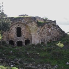
Triangle, Geographic region in eastern Sharon plain, Israel
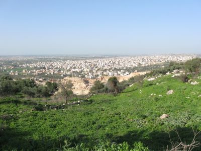
The Triangle is a geographic region in the eastern Sharon plain comprising eleven towns and villages along the Green Line. The area stretches between the Samarian foothills and the eastern plain, housing around 250,000 Arab citizens of Israel across several municipalities including Kafr Qara, Baqa al-Gharbiyye, and Tayibe.
The region received its name during British administration between 1936 and 1939, named after its geographic shape. This naming occurred during a period marked by local tensions and activities within the territory.
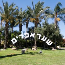
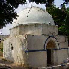
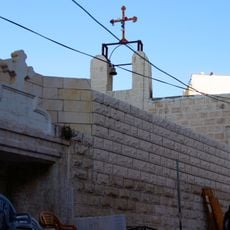
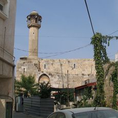
Umm al-Fahm in the northern part serves as a center for Arab communities, with markets, schools, and gathering places where daily life unfolds. The region is shaped by its role as a hub for commerce and social activity.
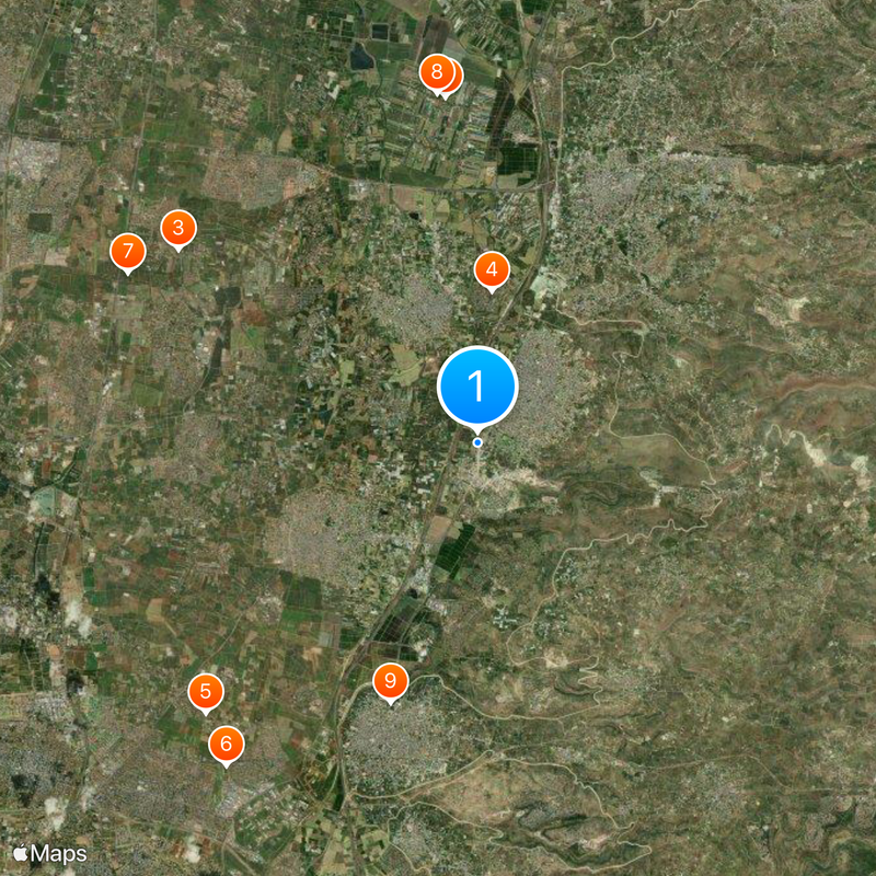
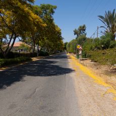
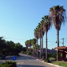
The region is accessible via local roads connecting its various communities. Visitors should be aware that this is a predominantly Arab area where local customs and traditions are observed.
The area owes its current location to negotiations in 1949 when Israel chose to maintain control rather than transfer it to Jordan. This territorial decision continues to shape the region's political and geographic structure today.
The community of curious travelers
AroundUs brings together thousands of curated places, local tips, and hidden gems, enriched daily by 60,000 contributors worldwide.