Chest opened
+${chestReward.xp} XP
Explorer
NOUVEAU ×${chestReward.collectible.quantity}
tapez pour fermer

See the monuments around you in AR Open chests in the app

Around Us is built for your phone — point your camera at the streets and discover the monuments and places around you in augmented reality. Around Us is built for your phone — chests unlock when you walk, explore and capture nearby places.

•

Enable Location

We need your location to show you interesting places around you

Discover nearby places

Find interesting locations and hidden gems around you

Precise directions

Get accurate directions and distances to places

Your location is never shared with other users. It's only used when you tap the location button.

Ma'aleh Akrabim

Log in to your account

Start exploring — it's free

Trusted by 92,823 travelers worldwide

Continue with Google
Continue with Apple
or

We will send you a code to connect

By continuing, you accept our Terms and Conditions and our Privacy Policy

Check your inbox

We've sent a pincode in your inbox. Please enter the code below.

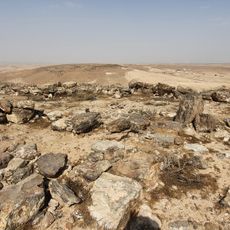
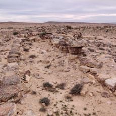
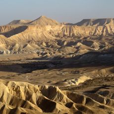
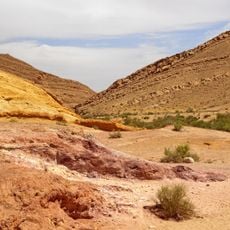
Ma'aleh Akrabim, Heritage site in Tamar Regional Council, Israel

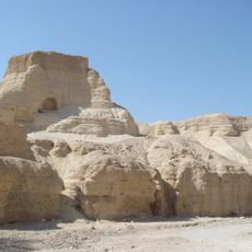
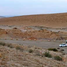
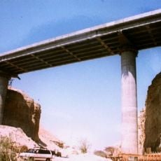
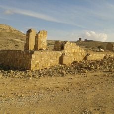
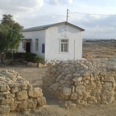
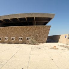
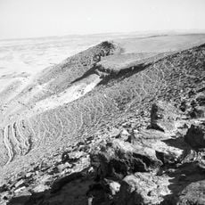
Ma'aleh Akrabim is a road descending from the Hatzeva ridge at 402 m to the Tzin valley at 80 m, built by the British Mandate in 1927 as a soling road on the slope facing the Byzantine route. Its serpentines drop 322 m over 3.6 km in more than 36 bends, held by stone retaining walls, with barrels placed along the edges by IDF soldiers after 1948.

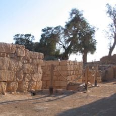
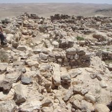
The Roman-Byzantine road, 7 km long from the foot of the ascent to its top, linked Hebron-area sites such as Mamshit with the Arabah and the Gulf of Eilat for goods transport. Its 36% gradient was overcome with many hairpins and rock-cut steps, and stone walls supported the roadway against erosion. The British Mandate paved a new road in 1927 on the slope facing the ancient route, using the serpentine method with stone retaining walls; it dropped from 402 m to 80 m over 3.6 km in more than 36 bends. In November 1948 Israeli forces took the road during Operation Lot, and after 1950 the Engineering Corps asphalted it and set barrels along its edges.

The name Ma'aleh Akrabim means Scorpions Pass in Hebrew. The ascent is also called Nekv Tzfai in Arabic, "the light ascent", after the chalky slope it climbs. Since 2012 the serpentines have been listed for preservation by the Middle Arava heritage committee, together with the Mandate-era soling road to Umm Rashrash.

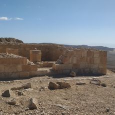
The road is closed to traffic from March 2017 to the present, after an earlier closure from 2007 to 2014. It has no guardrails and no shoulders, with gradients of up to 36% and sharp bends above a deep drop. Four observation points over the Arava, Nahal Zin and the Roman-Byzantine road carry short explanations.

The road is closed to traffic from March 2017, after a previous closure from 2007 to 2014, and the Transport Ministry lists it as a road without a responsible authority. Its serpentine section is slated to become one-way with a speed limit so the original layout and the barrels along its edges can be kept.

The community of curious travelers

AroundUs brings together thousands of curated places, local tips, and hidden gems, enriched daily by 92,823 contributors worldwide.

Start exploring
GPS coordinates
30.90661,35.13166
Latest update
October 25, 2026 04:25
Reviews
Share your experience

No review yet

Discussions
Start a discussion...

No discussion yet

« Ma'aleh Akrabim - Heritage site in Tamar Regional Council, Israel » is provided by Around Us (aroundus.com). Images and texts are derived from Wikimedia project under a Creative Commons license. You are allowed to copy, distribute, and modify copies of this page, under the conditions set by the license, as long as this note is clearly visible.

Discover hidden gems everywhere you go!

From secret cafés to breathtaking viewpoints, skip the crowded tourist spots and find places that match your style. Our app makes it easy with voice search, smart filtering, route optimization, and insider tips from travelers worldwide. Download now for the complete mobile experience.
Around Us App Screenshot
❝

A unique approach to discovering new places❞

— Le Figaro

❝

All the places worth exploring❞

— France Info

❝

A tailor-made excursion in just a few clicks❞

— 20 Minutes

Around Us
Travel Guide & Maps
Download

Send to your phone

QR Code
1

Open the camera app on your mobile.

2

Point at the QR code with your camera. A notification will appear.

3

Tap the notification to open the link.