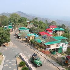
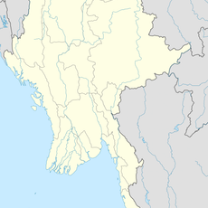
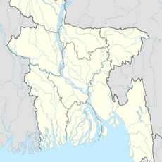
Mizoram, State in northeastern India
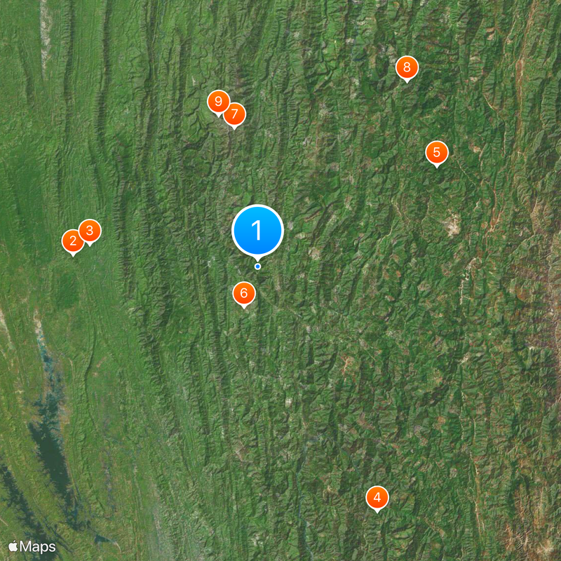
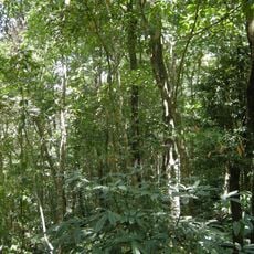
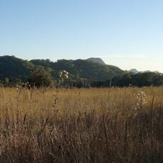
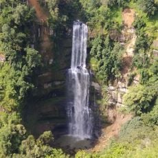
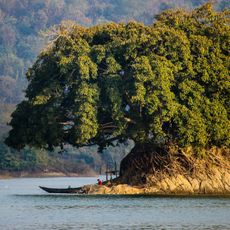
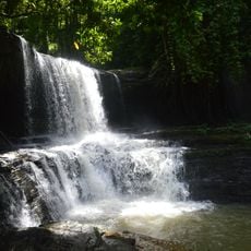
Mizoram is a state in northeastern India that stretches across forested hills and deep valleys between Myanmar and Bangladesh. The terrain consists mostly of parallel mountain ridges running north to south, covered with dense vegetation and crossed by rivers that wind through the green landscape.
British administrators established control over the region during the late 19th century, bringing significant changes to local governance. The area gained statehood in February 1987, becoming the 23rd state after spending 15 years as a union territory.
Mizo communities celebrate throughout the year with festivals like Chapchar Kut, where villagers gather for traditional bamboo dances and shared meals. Visitors often notice the local habit of wearing colorful handwoven shawls and hearing choral singing during Sunday gatherings, reflecting the strong community bonds across the region.
The hilly terrain requires some physical fitness for walking between villages and viewpoints. Travelers should bring light rain gear, as the climate remains humid and showers can occur throughout the year.
Bamboo grows here in extraordinary variety, with over 50 different species thriving in the forests and playing a central role in daily life. Locals use the material for building houses, making furniture, and even crafting musical instruments, showing the deep connection between plant and community.
The community of curious travelers
AroundUs brings together thousands of curated places, local tips, and hidden gems, enriched daily by 60,000 contributors worldwide.