Gaya district, Administrative district in Magadh division, Bihar, India
Gaya is an administrative district in the Magadh division of Bihar, spanning a large area with multiple subdivisions. It comprises numerous smaller administrative blocks and shares its geographic boundary with the neighboring state of Jharkhand.
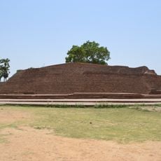
The area was established as an administrative district during British rule in 1865 and later developed into a significant location due to historical events in the region. Proximity to important historical battlefields shaped its development during the colonial period.
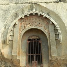
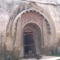
This region serves as a pilgrimage center, particularly for Hindus who perform rituals along the Falgu River's banks. Visitors observe daily religious ceremonies and witness how local traditions shape everyday life.
The district is divided into 24 administrative blocks, with the city of Gaya serving as the administrative center. Visitors should be aware that the district spreads across a large area and some planning is needed for getting around.
The Gautam Buddha Wildlife Sanctuary within the district offers visitors a chance to observe a variety of plant and animal species protected in this natural reserve. This sanctuary is an important destination for nature enthusiasts who want to explore the local flora and fauna.
The community of curious travelers
AroundUs brings together thousands of curated places, local tips, and hidden gems, enriched daily by 60,000 contributors worldwide.