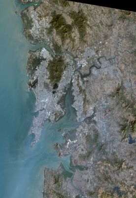
Isle of Bombay, Historical island in Mumbai, India.
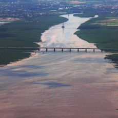
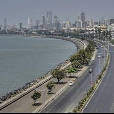
The Isle of Bombay stretches from Malabar Hill in the west to Dongri in the east, forming a natural harbor with significant maritime advantages. This elongated shape continues to define the urban layout and geography of South Mumbai today.
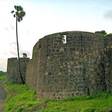
The island transferred from Portuguese to British control in 1661 as part of a royal marriage settlement between the Infanta Catherine of Braganza and King Charles II. This transfer marked the beginning of British expansion and the transformation of the settlement into a major trading center.
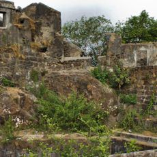
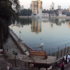
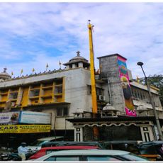
The name reflects its Portuguese past and deep ties to maritime commerce that shaped daily life for centuries. Walking through the older quarters, you notice how neighborhoods still follow patterns established by traders and colonial administrators.
The island connects to the mainland through the Hornby Vellard, a structure built in 1784 that forms the geographic foundation of modern Mumbai. When exploring, keep in mind that the southern portions are densely developed and feel busy during daytime hours.
Natural channels that once separated this area from neighboring landmasses shaped how transportation networks would later develop throughout the city. These water passages were eventually filled or built over, yet their original paths remain visible in the curved streets of South Mumbai.
The community of curious travelers
AroundUs brings together thousands of curated places, local tips, and hidden gems, enriched daily by 60,000 contributors worldwide.