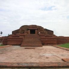
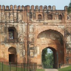
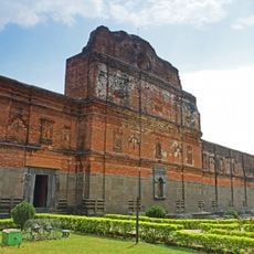
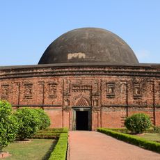
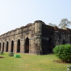
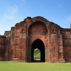
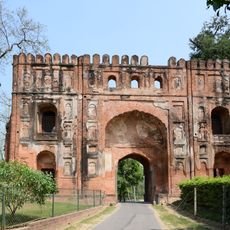
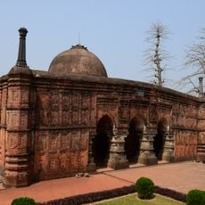
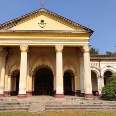
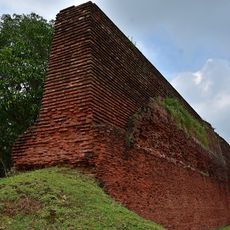
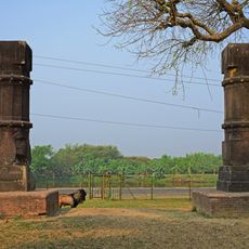
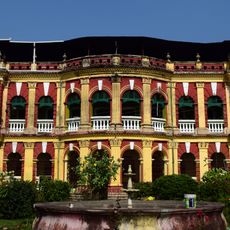
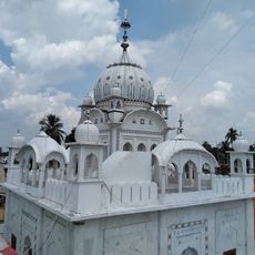
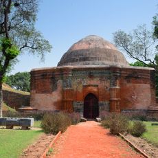
Sahebganj district, Administrative district in Santhal Pargana division, India
Sahibganj is an administrative district in the Santhal Pargana division, stretching across a landscape of plains and hills. The Ganges River forms its northern boundary, while the Rajmahal Hills shape the terrain to the south.
This district was established as an administrative unit in 1855 during British rule. The Santhal Parganas Tenancy Act of 1876 followed, shaping how land and governance were organized.
People of different faiths share daily life in this region, creating a diverse social fabric. Bengali, Santali, and Hindi are languages you hear throughout, reflecting how communities interact.
The district is divided into nine administrative blocks covering various towns and villages. Visitors should plan their route in advance depending on where they want to go, as the terrain varies.
The name Damin-I-koh comes from Persian and means 'Skirts of the Hills', reflecting the geography of this fertile area. This zone along the Ganges is known for its substantial rice production and rural character.
The community of curious travelers
AroundUs brings together thousands of curated places, local tips, and hidden gems, enriched daily by 60,000 contributors worldwide.