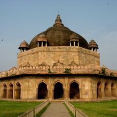
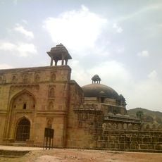
Rohtas district, Administrative district in Patna division, India
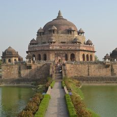
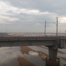
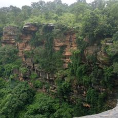
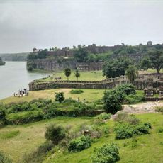
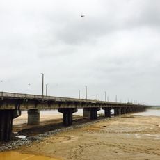
Rohtas district is an administrative division in Patna division that includes both flat plains and hilly terrain across a broad area. The landscape consists of agricultural land, villages, and some smaller urban centers connected by local roads and pathways.
The district was established in 1972 when a larger administrative region was divided and new boundaries were created. This reorganization changed local governance structures and created an independent administrative unit.
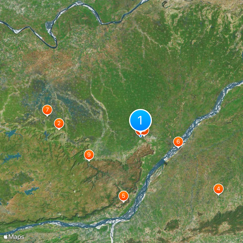
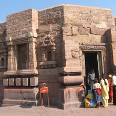
Local communities maintain traditional crafts and artistic practices that you can see in workshops and public gatherings throughout the region. These expressions reflect the daily life and stories of the people who live here.
The district is best explored using local buses and trains that connect the main center with smaller villages and neighboring regions. The better time to visit is during milder seasons when weather conditions are more favorable for traveling.
The region stands out for having a high concentration of schools and educational institutions relative to its population, making it different from many other districts. This strong emphasis on education shapes the lives of many young people living here.
Location: Patna division
Inception: 1972
Capital city: Sasaram
Shares border with: Kaimur district, Palamu district
Website: http://rohtas.bih.nic.in
GPS coordinates: 24.95000,84.01000
Latest update: December 13, 2025 00:34
Mundeshwari Temple
45.1 km
Tomb of Sher Shah Suri
232 m
Deo Surya Mandir
54 km
Rohtasgarh Fort
37.5 km
Nehru Setu
21.8 km
Kaimur Wildlife Sanctuary
52.6 km
Maa Tara Chandi Temple
2 km
Shergarh Fort
31.6 km
Jawahar Setu
21.9 km
Deo Fort
53.9 km
Tomb of Hasan Shah Suri
471 m
Tomb of Bakhtiar Khan
53.4 km
Tomb of Shamsher Khan
48 km
Ashokan inscription on the Chandan Shahid hill
3 km
Inscriptions near Tara Chandi Temple
5 km
Deodari Falls (busay sa Indya, lat 24,87, long 83,35)
67 km
Mound of ruins with remains of temples and other buildings
63.6 km
Ruins
18.2 km
Installation artwork, Work of art
849 m
Ruins
37.5 km
Ruins
35.9 km
Pilot Baba Ashram
3.4 km
Wat Thai Sasaram Temple
7.7 km
Block colony enterance gate
41.8 km
Waterfall
40.7 km
Waterfall
27.3 km
Waterfall
27.2 km
Waterfall
25.5 kmVisited this place? Tap the stars to rate it and share your experience / photos with the community! Try now! You can cancel it anytime.
Discover hidden gems everywhere you go!
From secret cafés to breathtaking viewpoints, skip the crowded tourist spots and find places that match your style. Our app makes it easy with voice search, smart filtering, route optimization, and insider tips from travelers worldwide. Download now for the complete mobile experience.
A unique approach to discovering new places❞
— Le Figaro
All the places worth exploring❞
— France Info
A tailor-made excursion in just a few clicks❞
— 20 Minutes