Enable Location

We need your location to show you interesting places around you

Discover nearby places

Find interesting locations and hidden gems around you

Precise directions

Get accurate directions and distances to places

Your location is never shared with other users. It's only used when you tap the location button.

Kargil district

Log in to your account

Start exploring — it's free

Trusted by 62,473 travelers worldwide

Continue with Google
Continue with Apple
or

We will send you a code to connect

By continuing, you accept our Terms and Conditions and our Privacy Policy

Check your inbox

We've sent a pincode in your inbox. Please enter the code below.

Kargil district, Administrative district in Ladakh, India

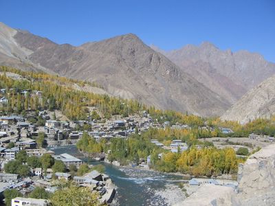
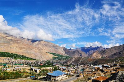
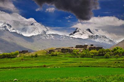
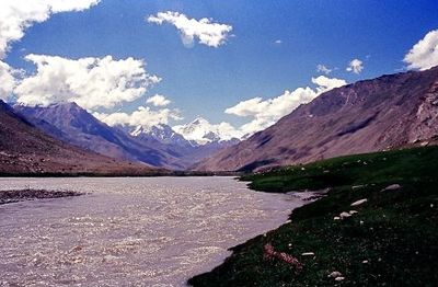
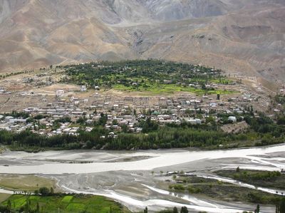
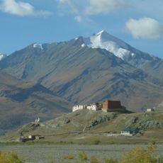
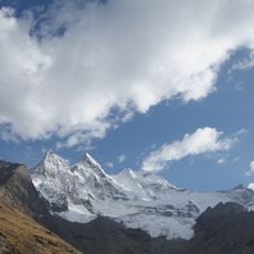
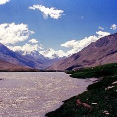
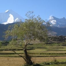
Kargil district is an administrative area in Ladakh in northern India, covering high mountain ranges, deep valleys and the Suru River at an elevation of 2676 meters (8780 feet). The territory extends across three historical regions called Purig, Dras and Zanskar, which show different landscapes and settlement patterns.

The territory became contested during the Indo-Pakistani War of 1947 and later remained a site of military confrontations. The separation from Leh occurred in 1979, turning Kargil into an independent administrative district.

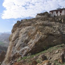
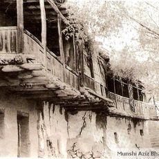
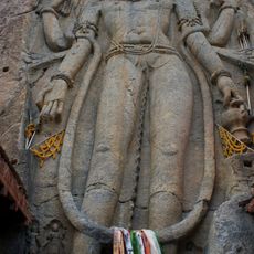
The population speaks several languages including Purgi, Balti and Zangskari, which have survived in the different valleys of the district. Villages along the Suru River show wooden houses with flat roofs and small mosques, while the Zanskar region preserves Buddhist monasteries.

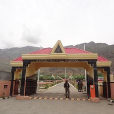
National Highway 1D connects the territory with Srinagar and other parts of Ladakh, but is often blocked by snow from November through March. Travelers should bring warm clothing, as the elevation brings low temperatures and strong sun exposure.

The Dras region within the district is considered one of the coldest inhabited places on Earth, with winter temperatures well below freezing. Zanskar remains often cut off from the rest of the territory during winter months, forcing residents to walk across frozen rivers.

The community of curious travelers

AroundUs brings together thousands of curated places, local tips, and hidden gems, enriched daily by 60,000 contributors worldwide.

Start exploring
Location
Inception
July 1, 1979
Capital city
Kargil
Elevation above the sea
2,676 m
Shares border with
Leh district
GPS coordinates
34.01667,76.40000
Latest update
December 13, 2025 18:10
« Kargil district - Administrative district in Ladakh, India » is provided by Around Us (aroundus.com). Images and texts are derived from Wikimedia project under a Creative Commons license. You are allowed to copy, distribute, and modify copies of this page, under the conditions set by the license, as long as this note is clearly visible.

Discover hidden gems everywhere you go!

From secret cafés to breathtaking viewpoints, skip the crowded tourist spots and find places that match your style. Our app makes it easy with voice search, smart filtering, route optimization, and insider tips from travelers worldwide. Download now for the complete mobile experience.

Around Us App Screenshot

A unique approach to discovering new places

Le Figaro

All the places worth exploring

France Info

A tailor-made excursion in just a few clicks

20 Minutes

Around Us
Travel Guide & Maps
Download

Send to your phone

QR Code
1

Open the camera app on your mobile.

2

Point at the QR code with your camera. A notification will appear.

3

Tap the notification to open the link.