Enable Location

We need your location to show you interesting places around you

Discover nearby places

Find interesting locations and hidden gems around you

Precise directions

Get accurate directions and distances to places

Your location is never shared with other users. It's only used when you tap the location button.

Log in to your account

Start exploring — it's free

Trusted by 61,953 travelers worldwide

Continue with Google
Continue with Apple
or

We will send you a code to connect

By continuing, you accept our Terms and Conditions and our Privacy Policy

Check your inbox

We've sent a pincode in your inbox. Please enter the code below.

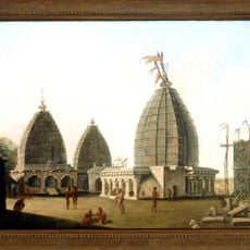
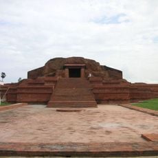
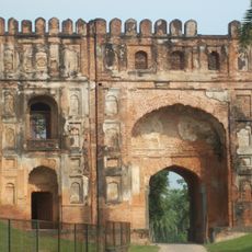
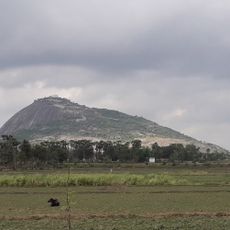
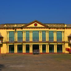
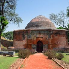
Godda district, Administrative district in Santhal Pargana division, India

Godda district is an administrative region in northeastern Jharkhand with forested hills, several rivers, and scattered rural settlements spread across nine administrative blocks. The town of Godda serves as the administrative center and main transport hub for the area.

The district became an independent administrative unit in 1991 after being carved out from the larger Santhal Parganas region. This separation allowed for more focused local governance and closer administration of the area.

The population includes Santhal communities and other groups who maintain local traditions through festivals and seasonal celebrations that shape daily life throughout the year.

The best time to visit is between October and March when the weather is dry and comfortable for travel. Railway connections from Godda town link to major regional cities, making it accessible by train.

The region contains coal mines that supply fuel for a major thermal power station, playing a significant role in regional energy production. This mining activity has shaped the local economy and employment patterns over recent decades.

The community of curious travelers

AroundUs brings together thousands of curated places, local tips, and hidden gems, enriched daily by 60,000 contributors worldwide.

Start exploring
Capital city
Godda
Shares border with
Bhagalpur district, Pakur district
GPS coordinates
24.81667,87.21667
Latest update
December 7, 2025 20:23
« Godda district - Administrative district in Santhal Pargana division, India » is provided by Around Us (aroundus.com). Images and texts are derived from Wikimedia project under a Creative Commons license. You are allowed to copy, distribute, and modify copies of this page, under the conditions set by the license, as long as this note is clearly visible.

Discover hidden gems everywhere you go!

From secret cafés to breathtaking viewpoints, skip the crowded tourist spots and find places that match your style. Our app makes it easy with voice search, smart filtering, route optimization, and insider tips from travelers worldwide. Download now for the complete mobile experience.

Around Us App Screenshot

A unique approach to discovering new places

Le Figaro

All the places worth exploring

France Info

A tailor-made excursion in just a few clicks

20 Minutes

Around Us
Travel Guide & Maps
Download

Send to your phone

QR Code
1

Open the camera app on your mobile.

2

Point at the QR code with your camera. A notification will appear.

3

Tap the notification to open the link.