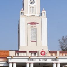
Heggadadevana kote, Town Panchayat in Mysore district, Karnataka, India
Heggadadevana Kote is a town in the Mysore district situated at an elevation of about 700 meters in a region shaped by water reservoirs. The landscape is defined by water bodies like Kabini and Nugu reservoirs that surround the area and influence daily life.
The area was first called Punnata and was ruled by the Hoysala and Vijayanagara kings, whose inscriptions survive. It was later held by Heggadadeva, a vassal of the Mysore Odeyars, who built a mud fort here and gave the town his name. The Taraka Lift Irrigation Project, which pumps water 6 km from the Kabini reservoir to the Taraka reservoir, was completed in 1983.
The name comes from Heggadadeva, a vassal of the Mysore Odayars, who ruled here and built a mud fort (kote). Before that the area was called Punnata and was ruled by the Hoysala and Vijayanagara kings, whose inscriptions survive. Villages such as Goolikatte, under Savve Gram Panchayat, keep rural administrative traditions.
H.D. Kote is reached by road from Mysore; Handpost Junction, also called Yerahalli, is the separate township where the Mysore–Kerala road meets the town. The taluk spreads over about 1,622 sq km, with its west and south sides under dense forest. The Kabini reservoir is the one water body that holds water; the Nugu, Hebbal and Taraka reservoirs are usually dry.
The town's name comes from Heggadadeva, a vassal of the Mysore Odeyars, who ruled here and built a mud fort (kote), giving the place its name. Before that the area was called Punnata and was ruled by the Hoysala and Vijayanagara kings, whose inscriptions still survive in the taluk.
The community of curious travelers
AroundUs brings together thousands of curated places, local tips, and hidden gems, enriched daily by 92,813 contributors worldwide.