Enable Location

We need your location to show you interesting places around you

Discover nearby places

Find interesting locations and hidden gems around you

Precise directions

Get accurate directions and distances to places

Your location is never shared with other users. It's only used when you tap the location button.

Mayurbhanj district

Log in to your account

Start exploring — it's free

Trusted by 63,125 travelers worldwide

Continue with Google
Continue with Apple
or

We will send you a code to connect

By continuing, you accept our Terms and Conditions and our Privacy Policy

Check your inbox

We've sent a pincode in your inbox. Please enter the code below.

Mayurbhanj district
Discussion Reviews 2 Photos
48.4k Popularity

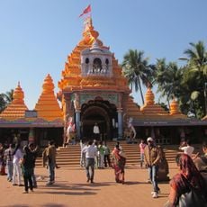
Mayurbhanj district, District with tribal heritage in Odisha, India

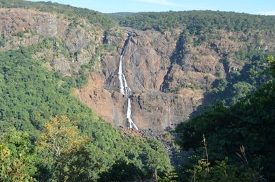
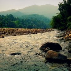
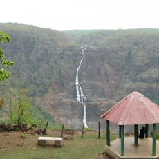
Mayurbhanj district spans eastern Odisha with rolling hills, dense forests, and valleys that rise to approximately 550 meters in elevation. The landscape is shaped by varying terrain that creates a diverse environment across the region.

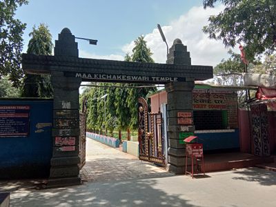
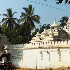
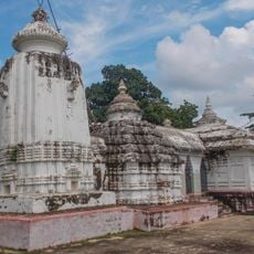
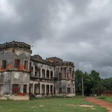
The Bhanja dynasty governed the region from their capital at Khiching before the area fell under British rule in the early 1800s. This shift marked a major turning point in the region's political and administrative structure.

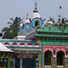
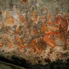
Local communities practice traditional Chhau dance performances and Jhumar folk songs that have been handed down through generations. These art forms remain embedded in everyday celebrations and gatherings across the region.

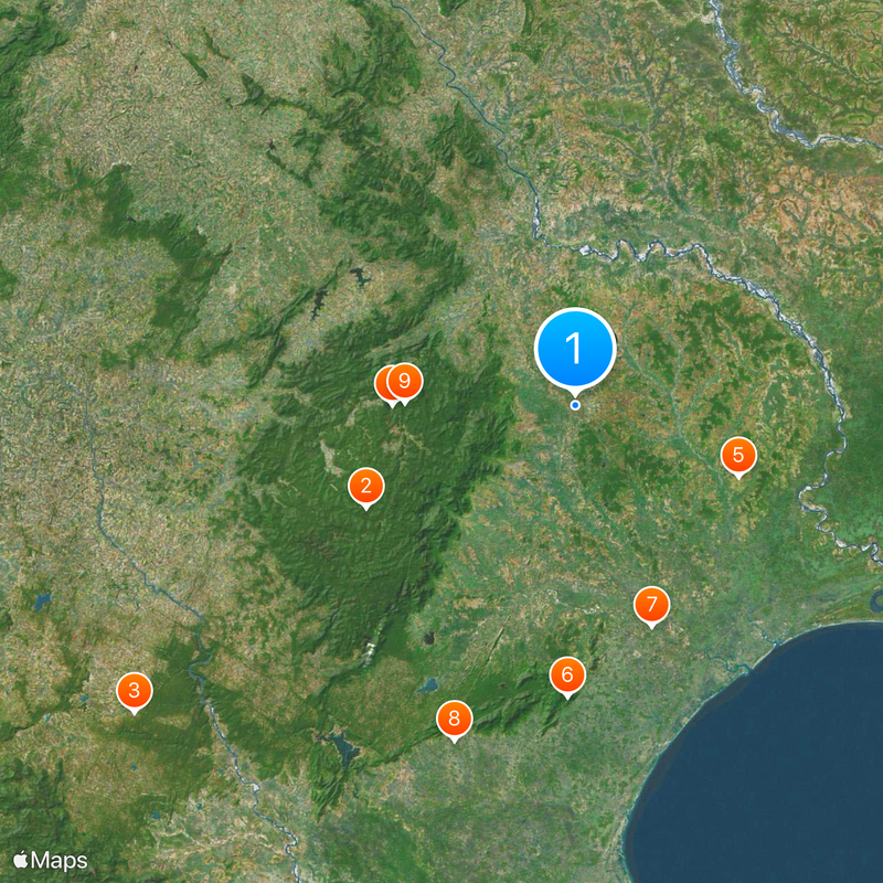
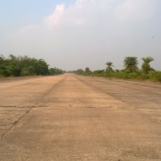
National Highway 18 connects the district to larger cities and provides good road access for travel by car. Regular train services offer an alternative for those covering longer distances through the region.

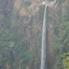
Simlipal National Park occupies the central portion of the district, creating a distinctive pattern of roads and settlements around its protected forests. This layout has shaped how communities are distributed geographically across the surrounding area.

The community of curious travelers

AroundUs brings together thousands of curated places, local tips, and hidden gems, enriched daily by 60,000 contributors worldwide.

Start exploring
Location
Central division
Capital city
Baripada
Elevation above the sea
559.31 m
Shares border with
West Singhbhum district, Balasore district, Jhargram district, Paschim Medinipur district, Kendujhar district, Seraikela Kharsawan district
GPS coordinates
21.93300,86.73300
Latest update
December 14, 2025 19:12
Reviews
Share your experience

No review yet

Discussions
Start a discussion...

No discussion yet

« Mayurbhanj district - District with tribal heritage in Odisha, India » is provided by Around Us (aroundus.com). Images and texts are derived from Wikimedia project under a Creative Commons license. You are allowed to copy, distribute, and modify copies of this page, under the conditions set by the license, as long as this note is clearly visible.

Discover hidden gems everywhere you go!

From secret cafés to breathtaking viewpoints, skip the crowded tourist spots and find places that match your style. Our app makes it easy with voice search, smart filtering, route optimization, and insider tips from travelers worldwide. Download now for the complete mobile experience.

Around Us App Screenshot

A unique approach to discovering new places

Le Figaro

All the places worth exploring

France Info

A tailor-made excursion in just a few clicks

20 Minutes

Around Us
Travel Guide & Maps
Download

Send to your phone

QR Code
1

Open the camera app on your mobile.

2

Point at the QR code with your camera. A notification will appear.

3

Tap the notification to open the link.