Mon district

Log in to your account

AroundUs is a community-driven map of interesting places, built by curious explorers like you. It grows with every review, story, and photo you share.
Connect to save your favorite spots, contribute locations, and create personalized routes.
Continue with Google
Continue with Apple
Continue with X
Continue with Facebook
Continue with email
By continuing, you accept our Terms and Conditions and our Privacy Policy
Create an account

Mon district

Add to collection
Map
Suggest a change
Share

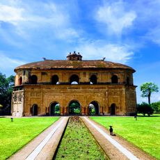
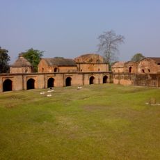
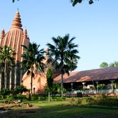
Mon district, Administrative district in Nagaland, India

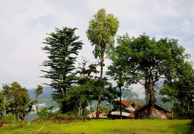
Mon is an administrative district in northeastern India that spreads across hilly terrain at around 900 meters elevation. The area contains numerous villages and is traversed by rivers including the Dikhu and Tapi.

The district was established as a separate administrative division in 1973 after being administered as a subdivision of the North-East Frontier Agency. This reorganization reflected changing governance needs in the region.

The Konyak people shape daily life here with their traditional facial tattoos, which mark social standing and heritage. Village elders and hereditary leaders continue to guide community decisions and maintain local customs.

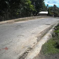
The district has several administrative centers in towns such as Mon town and other smaller settlements that serve as reference points for exploring different areas. Understanding local road connections helps when planning visits to more remote villages.

Lungwa village sits directly on the India-Myanmar border and offers views of two major river systems from its elevated location. This geographical position makes it a notable place for those interested in the region's border landscape and river geography.

Location: Nagaland

Shares border with: Longleng district, Tirap district

Website: http://mon.nic.in

GPS coordinates: 26.71667,95.03333

Latest update: December 7, 2025 20:42

Photos
Reviews

Visited this place? Tap the stars to rate it and share your experience / photos with the community! Try now! You can cancel it anytime.

« Mon district - Administrative district in Nagaland, India » is provided by Around Us (aroundus.com). Images and texts are derived from Wikimedia project under a Creative Commons license. You are allowed to copy, distribute, and modify copies of this page, under the conditions set by the license, as long as this note is clearly visible.

Discover hidden gems everywhere you go!

From secret cafés to breathtaking viewpoints, skip the crowded tourist spots and find places that match your style. Our app makes it easy with voice search, smart filtering, route optimization, and insider tips from travelers worldwide. Download now for the complete mobile experience.

Around Us App Screenshot

A unique approach to discovering new places

Le Figaro

All the places worth exploring

France Info

A tailor-made excursion in just a few clicks

20 Minutes