Nagaland, State in northeastern India
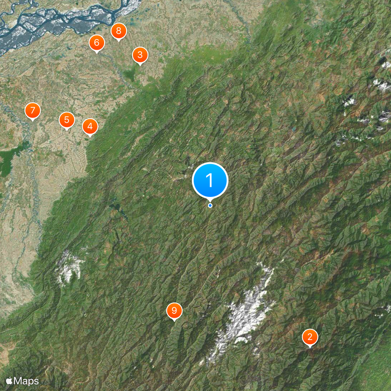
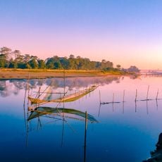
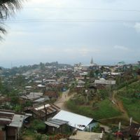
Nagaland is a state in northeastern India that covers mountainous terrain with dense forests, deep valleys, and the peak of Mount Saramati. The landscape rises from southern plains to forested heights often wrapped in mist during the monsoon season.
The British administration first entered this region in 1832 and established colonial control after decades of military engagements with local tribes. The state officially came into being in 1963, after the region spent over a century under colonial and later Indian administration.
The 16 tribal groups speak their own languages and wear clothing with patterns that signal clan and origin, while each village celebrates its own festivals. Visitors encounter communities that maintain their tribal identity in daily life, from house architecture to rituals at weddings and harvests.
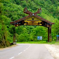
Dimapur in the south serves as the main gateway with an airport and railway station, from where roads lead into the hill villages, with journeys often taking several hours. The best time to visit falls between October and May, when roads are passable and many tribal villages hold their festivals.
The jhum farming method, where farmers clear and plant new forest plots every few years through controlled burning, has shaped the appearance of the hills for centuries. This practice leaves a mosaic of young forests, fallow land, and cultivated fields that constantly shifts across the landscape.
The community of curious travelers
AroundUs brings together thousands of curated places, local tips, and hidden gems, enriched daily by 60,000 contributors worldwide.