Patkai, Mountain range between Arunachal Pradesh, Nagaland, and Upper Burma.
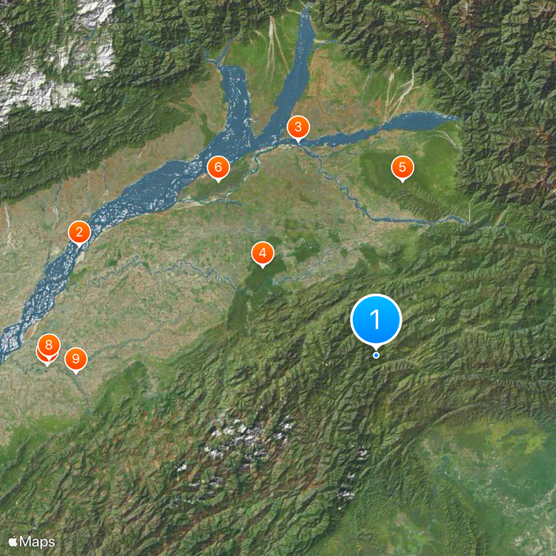
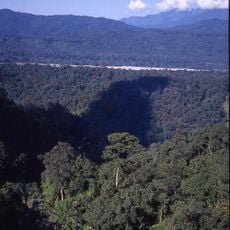
Patkai is a mountain range running along the India-Myanmar border with multiple peaks scattered throughout its sections. The highest point, Mount Saramati, rises prominently and defines the landscape of this border region.
The Patkai range formed a natural barrier during World War II and became part of the Allied airlift operations called The Hump. This strategic position made it a key location for delivering supplies across difficult terrain.
The name Patkai comes from the Tai-Ahom language, where Pat means to cut and Kai means chicken, showing the linguistic roots of the region. This naming reflects how local languages shaped the geography of the area.
The Pangsau Pass offers the main crossing route through this mountain system connecting northeastern India with Myanmar. Plan for varied weather and steep terrain when traveling through this region.
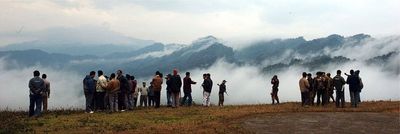
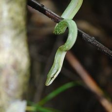
The slopes of this mountain system showcase different climate zones stacked vertically, ranging from temperate conditions at lower elevations to alpine environments higher up. This natural layering creates distinct ecosystems within the same geographic location.
The community of curious travelers
AroundUs brings together thousands of curated places, local tips, and hidden gems, enriched daily by 60,000 contributors worldwide.