Gumla district

Log in to your account

AroundUs is a community-driven map of interesting places, built by curious explorers like you. It grows with every review, story, and photo you share.
Connect to save your favorite spots, contribute locations, and create personalized routes.
By continuing, you accept our Terms and Conditions and our Privacy Policy

Gumla district

Add to collection
Map
Suggest a change
Share

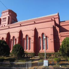
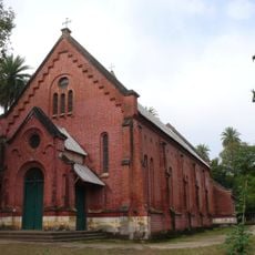
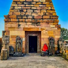
Gumla district, Administrative district in South Chotanagpur division, India

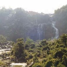
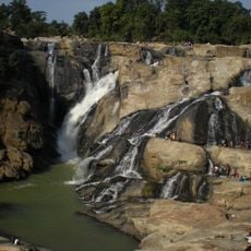
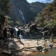
Gumla is an administrative district in India located on the Chota Nagpur plateau, where the landscape features flat-topped hills and several major rivers. The three rivers—Sankh, South Koel, and North Karo—flow through the region, and it is organized into development blocks serving its communities.

This district was created as a separate entity on May 18, 1983, when it was divided from Ranchi district. The change came through a government order from Bihar state, giving the region its own administrative structure.

The population here speaks languages like Sadri and Kurukh, which you hear in daily life across villages and markets. Local festivals such as Karma and Sarhul are still celebrated with traditional practices that shape community gatherings throughout the year.

The region is organized into development blocks with several towns and villages you can visit. National Highway 43 and the railway station at Pokla provide good connections for getting around and exploring the area.

The district contains many mines scattered across different villages, including those for bauxite and other minerals. This mining activity shapes the landscape and economy of several settlements throughout the region.

Location: South Chotanagpur division

Inception: May 18, 1984

Capital city: Gumla

Shares border with: Latehar district, Lohardaga district

Website: http://gumla.nic.in

GPS coordinates: 23.00000,84.50000

Latest update: December 7, 2025 20:20

Photos
Reviews

Visited this place? Tap the stars to rate it and share your experience / photos with the community! Try now! You can cancel it anytime.

« Gumla district - Administrative district in South Chotanagpur division, India » is provided by Around Us (aroundus.com). Images and texts are derived from Wikimedia project under a Creative Commons license. You are allowed to copy, distribute, and modify copies of this page, under the conditions set by the license, as long as this note is clearly visible.

Discover hidden gems everywhere you go!

From secret cafés to breathtaking viewpoints, skip the crowded tourist spots and find places that match your style. Our app makes it easy with voice search, smart filtering, route optimization, and insider tips from travelers worldwide. Download now for the complete mobile experience.

Around Us App Screenshot

A unique approach to discovering new places

Le Figaro

All the places worth exploring

France Info

A tailor-made excursion in just a few clicks

20 Minutes