Lushai hills, Mountain range in Mizoram, India
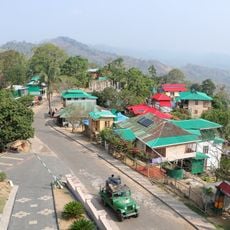
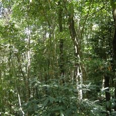
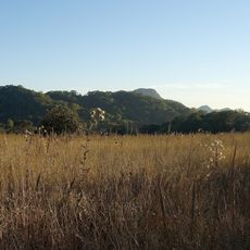
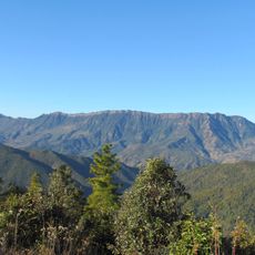
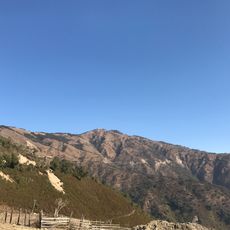
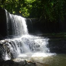
The Lushai Hills, now called the Mizo Hills, are a hill region of the Patkai-Arakan Yoma system in present-day Mizoram, Northeast India. Their highest point is Phawngpui, or Blue Mountain, at 2,157 metres. Most of the hills carry dense bamboo jungle and rank undergrowth; the eastern part, with less rainfall, has open grass-covered slopes with groves of oak and pine interspersed with rhododendrons.
The region was systematically documented by British colonial authorities in the early 1900s through detailed surveys and publications. These records preserved information about the hills and their inhabitants at that time.
The hills are named after the Lushai (Mizo) people, the largest community here; Chakma people live in the southern areas. Welsh Presbyterian missionaries began work at Aizawl in 1897, and the people showed an unexpected readiness to take up schooling. The district was divided into circles, each under an interpreter who passed orders to the chiefs.
The hills lie in the Patkai range across Mizoram and Tripura, with Phawngpui (Blue Mountain) rising to 2,157 m as the highest point. Dense bamboo jungle covers most slopes, while the eastern side, with less rainfall, has open grass slopes and groves of oak, pine and rhododendron.
Bamboo grows naturally in abundance throughout these hills and has long been harvested by locals for building material and crafts. This resource has shaped the livelihoods and practical skills of mountain residents for many generations.
The community of curious travelers
AroundUs brings together thousands of curated places, local tips, and hidden gems, enriched daily by 93,648 contributors worldwide.