Zinghmuh, Mountain summit in Chin State, Myanmar
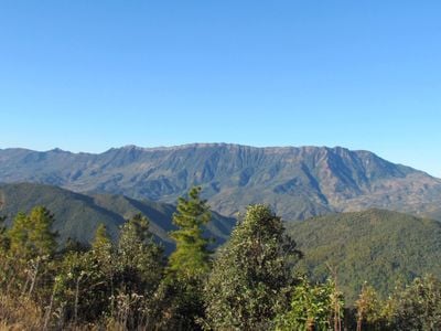
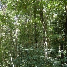
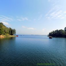
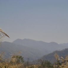
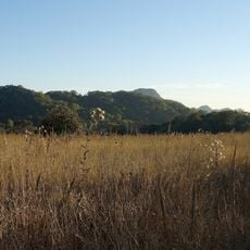
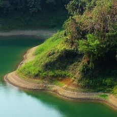
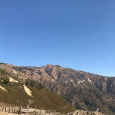
Mount Zinghmuh is a peak in the Chin Hills reaching about 2,565 meters, with steep slopes covered in dense vegetation. The landscape features rocky terrain, narrow trails, and open ridges that vary throughout the climb.
The mountain was surveyed by British surveyors in 1890 during an expedition in the Chin Hills, using mules to transport equipment. These early measurements established the geographic record of the region during colonial times.
The name comes from the local language meaning 'the mountain that can be seen every morning', and visitors find a white cross marking the summit.
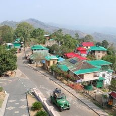
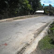
The climb starts from Ramthlo village, with trails crossing varied terrain and sections with cliffs. It is best to travel with local knowledge, as routes are steep and visitors should plan accordingly whether for a day trip or longer.
The peak acts as a natural boundary marker between Chunchung village in Hakha Township and Ramthlo village in Falam Township. Local communities use it as a geographic feature that distinguishes areas from a distance.
The community of curious travelers
AroundUs brings together thousands of curated places, local tips, and hidden gems, enriched daily by 60,000 contributors worldwide.