Enable Location

We need your location to show you interesting places around you

Discover nearby places

Find interesting locations and hidden gems around you

Precise directions

Get accurate directions and distances to places

Your location is never shared with other users. It's only used when you tap the location button.

Log in to your account

Start exploring — it's free

Trusted by 62,556 travelers worldwide

Continue with Google
Continue with Apple
or

We will send you a code to connect

By continuing, you accept our Terms and Conditions and our Privacy Policy

Check your inbox

We've sent a pincode in your inbox. Please enter the code below.

Balurghat community development block

Balurghat community development block, Administrative division in Balurghat subdivision, India.

Balurghat is an administrative division in Balurghat subdivision in West Bengal that covers hundreds of square kilometers. It consists of numerous villages organized within multiple local administrative units.

The area took its current administrative form in the 1960s when national development programs created new administrative divisions. This structural change shaped how the region has been organized and managed since then.

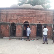
The area is predominantly Bengali-speaking, with different communities living together and maintaining local traditions. Residents have developed their own ways of coexisting and passing down their customs.

Medical services are provided through a rural hospital and several primary health centers distributed across the villages. Most everyday health needs are served by these local facilities rather than distant urban centers.

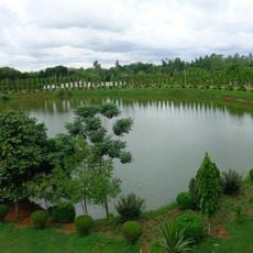
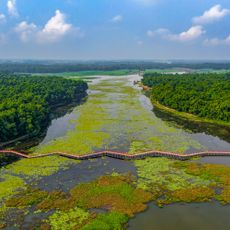
The region's agriculture is heavily focused on rice farming, with special irrigation systems used across many villages. These irrigated fields support two harvests each year and are central to how most residents live.

The community of curious travelers

AroundUs brings together thousands of curated places, local tips, and hidden gems, enriched daily by 60,000 contributors worldwide.

Start exploring
Shares border with
Hili community development block, Kumarganj community development block, Tapan community development block
GPS coordinates
25.22000,88.76000
Latest update
December 12, 2025 16:41
« Balurghat community development block - Administrative division in Balurghat subdivision, India » is provided by Around Us (aroundus.com). Images and texts are derived from Wikimedia project under a Creative Commons license. You are allowed to copy, distribute, and modify copies of this page, under the conditions set by the license, as long as this note is clearly visible.

Discover hidden gems everywhere you go!

From secret cafés to breathtaking viewpoints, skip the crowded tourist spots and find places that match your style. Our app makes it easy with voice search, smart filtering, route optimization, and insider tips from travelers worldwide. Download now for the complete mobile experience.

Around Us App Screenshot

A unique approach to discovering new places

Le Figaro

All the places worth exploring

France Info

A tailor-made excursion in just a few clicks

20 Minutes

Around Us
Travel Guide & Maps
Download

Send to your phone

QR Code
1

Open the camera app on your mobile.

2

Point at the QR code with your camera. A notification will appear.

3

Tap the notification to open the link.