Enable Location

We need your location to show you interesting places around you

Discover nearby places

Find interesting locations and hidden gems around you

Precise directions

Get accurate directions and distances to places

Your location is never shared with other users. It's only used when you tap the location button.

Log in to your account

Start exploring — it's free

Trusted by 63,014 travelers worldwide

Continue with Google
Continue with Apple
or

We will send you a code to connect

By continuing, you accept our Terms and Conditions and our Privacy Policy

Check your inbox

We've sent a pincode in your inbox. Please enter the code below.

Dinhata II community development block
Discussion Reviews Photo
2.4k Popularity

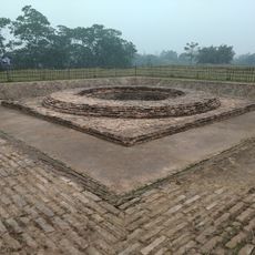
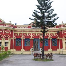
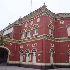
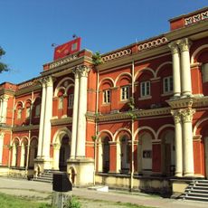
Dinhata II community development block, Administrative block in Dinhata subdivision, India.

Dinhata II is an administrative block located in Cooch Behar district within West Bengal. The area consists of flat, low-lying terrain containing about 119 inhabited villages with electricity and drinking water access throughout.

The block was established as an administrative unit to support local governance and development in the Dinhata region. Over time, the population grew steadily, reflecting increasing settlement and economic activity in the area.

Bengali language forms the primary medium of communication for 98.69 percent of residents, with Hindus comprising 63.11 percent and Muslims 36.68 percent of the population.

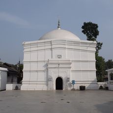
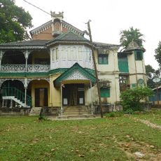
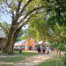
Most villages are well equipped with basic services and generally accessible. Visitors will find agriculturally focused areas with traditional village layouts throughout the region.

The local economy is heavily driven by agriculture, with many people working as farm laborers or independent farmers. This agricultural foundation has long shaped the daily rhythms and work patterns of the community.

The community of curious travelers

AroundUs brings together thousands of curated places, local tips, and hidden gems, enriched daily by 60,000 contributors worldwide.

Start exploring
Shares border with
Tufanganj I community development block, Cooch Behar I community development block, Dinhata I community development block
GPS coordinates
26.12307,89.61438
Latest update
December 13, 2025 11:46
Reviews
Share your experience

No review yet

Discussions
Start a discussion...

No discussion yet

« Dinhata II community development block - Administrative block in Dinhata subdivision, India » is provided by Around Us (aroundus.com). Images and texts are derived from Wikimedia project under a Creative Commons license. You are allowed to copy, distribute, and modify copies of this page, under the conditions set by the license, as long as this note is clearly visible.

Discover hidden gems everywhere you go!

From secret cafés to breathtaking viewpoints, skip the crowded tourist spots and find places that match your style. Our app makes it easy with voice search, smart filtering, route optimization, and insider tips from travelers worldwide. Download now for the complete mobile experience.

Around Us App Screenshot

A unique approach to discovering new places

Le Figaro

All the places worth exploring

France Info

A tailor-made excursion in just a few clicks

20 Minutes

Around Us
Travel Guide & Maps
Download

Send to your phone

QR Code
1

Open the camera app on your mobile.

2

Point at the QR code with your camera. A notification will appear.

3

Tap the notification to open the link.