Log in to your account

AroundUs is a community-driven map of interesting places, built by curious explorers like you. It grows with every review, story, and photo you share.
Connect to save your favorite spots, contribute locations, and create personalized routes.
Continue with Google
Continue with Apple
Continue with X
Continue with Facebook
Continue with email
By continuing, you accept our Terms and Conditions and our Privacy Policy
Create an account

Hariharpara community development block

Add to collection
Map
Suggest a change
Share

Hariharpara community development block, Administrative block in Berhampur subdivision, India

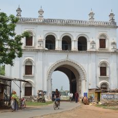
Hariharpara is an administrative division within the Berhampur subdivision located in Murshidabad district, West Bengal. The block comprises numerous villages spread across its territory, with rural settlements and farmland forming the backbone of the landscape.

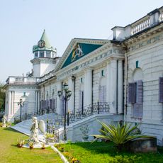
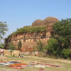
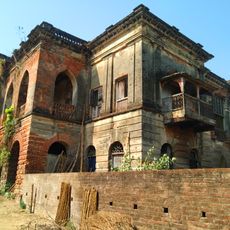
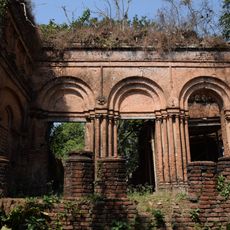
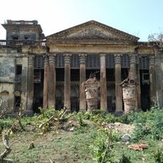
The block evolved as an administrative unit within the colonial governance system and continued its role after India's independence. Its present boundaries and structure reflect administrative arrangements established over several decades.

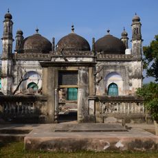
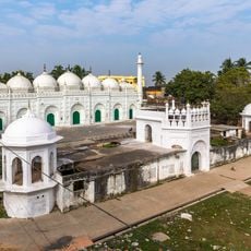
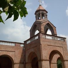
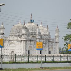
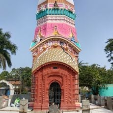
The area shows a strong Muslim cultural presence alongside Hindu communities, with both groups maintaining their traditions in local festivals and daily practices. Bengali shapes the rhythms of conversation and interaction throughout the villages.

The area is predominantly rural, and travel between villages typically involves local roads and transportation. Visitors benefit from hiring local guides to navigate the communities and understand the region's layout.

Rice cultivation dominates the local economy, with farmers relying on traditional growing methods passed down through generations. This agricultural practice remains closely tied to monsoon patterns and seasonal cycles.

Location: Berhampur subdivision

Elevation above the sea: 22 m

Shares border with: Berhampore community development block, Domkal community development block, Naoda community development block, Beldanga I community development block

GPS coordinates: 24.03000,88.45000

Latest update: December 12, 2025 07:55

Photos
Reviews

Visited this place? Tap the stars to rate it and share your experience / photos with the community! Try now! You can cancel it anytime.

« Hariharpara community development block - Administrative block in Berhampur subdivision, India » is provided by Around Us (aroundus.com). Images and texts are derived from Wikimedia project under a Creative Commons license. You are allowed to copy, distribute, and modify copies of this page, under the conditions set by the license, as long as this note is clearly visible.

Discover hidden gems everywhere you go!

From secret cafés to breathtaking viewpoints, skip the crowded tourist spots and find places that match your style. Our app makes it easy with voice search, smart filtering, route optimization, and insider tips from travelers worldwide. Download now for the complete mobile experience.

Around Us App Screenshot

A unique approach to discovering new places

Le Figaro

All the places worth exploring

France Info

A tailor-made excursion in just a few clicks

20 Minutes