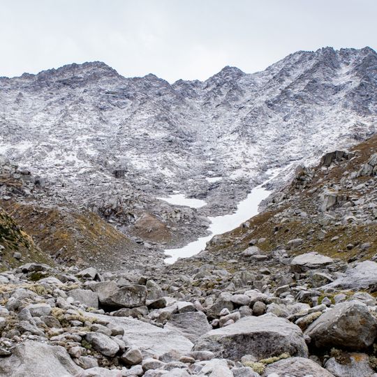
Indrahar Pass, Mountain pass in Dhauladhar Range, Himachal Pradesh, India
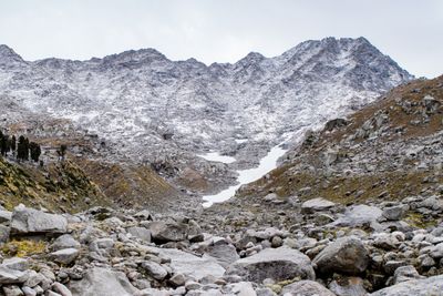
Indrahar Pass is a mountain pass in the Dhauladhar range of the Himalayas, at 4,342 metres (14,245 ft) above sea level, on the border between Kangra and Chamba districts near Dharamshala, Himachal Pradesh. The trekking trail to it starts at Galu Devi temple above Dharamkot and passes the Triund camping ground, Ilaqua/Laka Got and Lahesh Caves before the steep final climb. On the Chamba side lie the Chhata caves at 3,242 metres and Kuarsi village at 2,260 metres.
The Dhauladhar Range was shaped when the Indian tectonic plate collided with the Eurasian plate, creating natural passages between Kangra Valley and Chamba Valley. Over time, local communities used this geographical formation as a trade route and connection between settlements on both mountain sides.
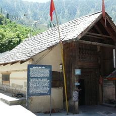
The pass marks the boundary between Kangra and Chamba districts, and the trail from Dharamkot passes the Galu Devi temple above the village. On the Chamba side, herders camp at Chhata caves at 3,242 metres and descend to Kuarsi village at 2,260 metres. Trekking traffic concentrates between April and October.
The crossing takes about four days with established waypoints and rest areas at Triund, Laka Glacier, and Lahesh Cave. Visitors should expect high altitude conditions and prepare for changing weather, particularly during the monsoon season.
Indrahar Pass marks the boundary between Kangra and Chamba districts, and the trail continues down the far side to Chhata caves at 3,242 metres and Kuarsi village in Chamba at 2,260 metres. Trekkers often overlook that the pass is a crossing between two districts, not just a viewpoint.
The community of curious travelers
AroundUs brings together thousands of curated places, local tips, and hidden gems, enriched daily by 92,682 contributors worldwide.