
Kurabalakota mandal, human settlement in India
Location: Annamayya district
Capital city: Kurabalakota
GPS coordinates: 13.65000,78.48330
Latest update: March 7, 2025 00:16
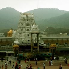
Tirumala Venkateswara Temple
93.5 km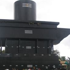
Kotilingeshwara Temple
75.7 km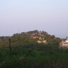
Horsley Hills
9.4 km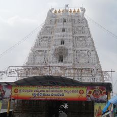
Padmavathi Temple, Tiruchanur
93.5 km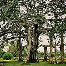
Thimmamma Marrimanu
45.4 km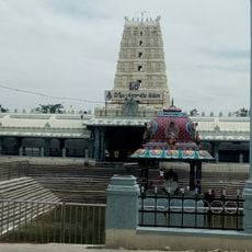
Kanipakam Vinayaka Temple
72.8 km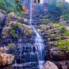
Talakona
81.2 km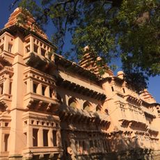
Chandragiri Fort
89.3 km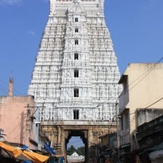
Govindaraja Temple, Tirupati
93.5 km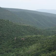
Sri Venkateswara National Park
93.1 km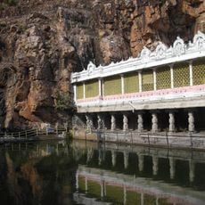
Kapila Theertham
93.5 km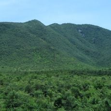
Koundinya Wildlife Sanctuary
71.7 km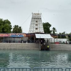
Mangapuram Venkatesvara Vishnu Temple
91.4 km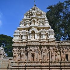
Someshwara Temple, Kolar
68.2 km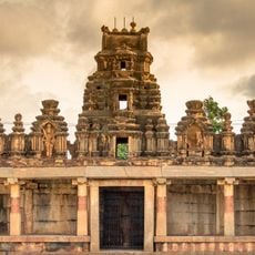
Bhoga Nandeeshwara Temple
89.9 km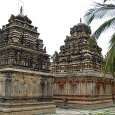
Ramalingeshwara group of temples, Avani
62.8 km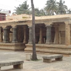
Kolaramma Temple
68.1 km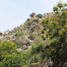
Ardhagiri
64.3 km
Koneti Rayala Swamy Temple
55.5 km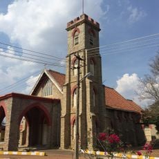
St. Michael's and All Angels' Church, Oorgaum, KGF
81.9 km
Sir M Vishweshwarayya Samadhi
89.5 km
Gurramkonda Fort
18 km
Laxminarsimha Swamy temple, Kadiri
62.2 km
Madhavaraya Temple
85.9 km
Gurramkonda Mahal
18 km
Chennakeswaraswami Temple
28.9 km
Chandragiri Upper Fort
88.4 km
Chandragiri Lower Fort
89.2 kmReviews
Visited this place? Tap the stars to rate it and share your experience / photos with the community! Try now! You can cancel it anytime.
Discover hidden gems everywhere you go!
From secret cafés to breathtaking viewpoints, skip the crowded tourist spots and find places that match your style. Our app makes it easy with voice search, smart filtering, route optimization, and insider tips from travelers worldwide. Download now for the complete mobile experience.

A unique approach to discovering new places❞
— Le Figaro
All the places worth exploring❞
— France Info
A tailor-made excursion in just a few clicks❞
— 20 Minutes