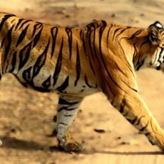
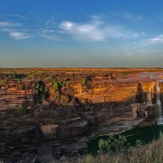
Rewa Plateau, Geological plateau in Madhya Pradesh, India.
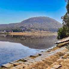
The Rewa Plateau lies between the Kaimur Range and Vindhya Range, sloping downward from south to north across multiple districts. Rivers called Tons and Son flow through it, creating natural drainage that supports the land.
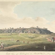
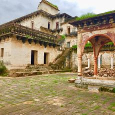
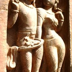
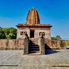
The region became Baghel Rajput territory in the 15th century. Later it came under British administration during the 19th and early 20th centuries.
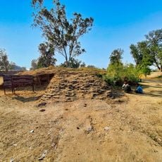
The plateau is home to farming communities that have cultivated rice, wheat, and oilseeds for generations. These agricultural practices shape the daily rhythm and character of life here.
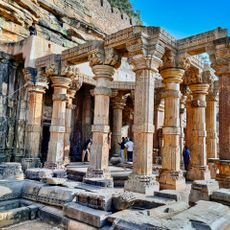
The plateau spans across multiple districts, each with different ways to access and explore the land. Hiring a local guide helps you reach remote areas and understand what you are seeing.
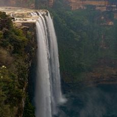
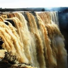
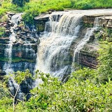
Several waterfalls like Chachai Falls and Keoti Falls appear here where tributaries plunge down from elevations over 450 meters (1,500 feet) high. These falls create striking natural features that form along the steeper slopes.
The community of curious travelers
AroundUs brings together thousands of curated places, local tips, and hidden gems, enriched daily by 60,000 contributors worldwide.