Mettupalayam taluk, Administrative subdivision in Coimbatore North, India
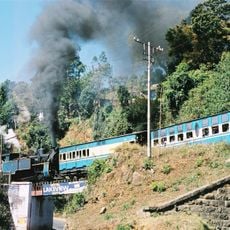
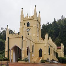
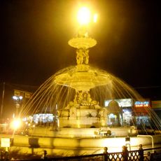
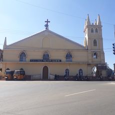
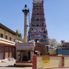
Mettupalayam taluk is an administrative subdivision in Coimbatore North containing 19 revenue villages, located at coordinates 11.3 degrees latitude and 76.95 degrees longitude. The area connects the plains to the mountain regions and serves as a key passage toward the Nilgiri hills.
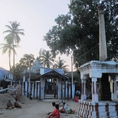
This area developed over generations as a key transition point between the flat plains and mountain settlements in the Nilgiri hills. Its long settlement history made it a natural connection between two different landscapes.
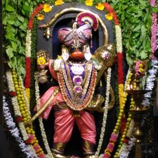
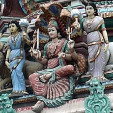
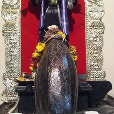
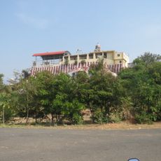
The villages here like Belladi and Chikkadasampalayam maintain farming traditions and local customs passed down through generations. Daily life revolves around agricultural rhythms and community practices rooted in the land.
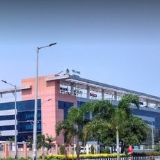
The subdivision offers basic services including government hospitals, veterinary facilities, and pharmacies for residents. It helps to know where these resources are located, especially if you plan to stay longer in the area.
Each of the 19 villages maintains detailed mapping records that document land use, infrastructure, and settlement patterns. This precise record-keeping makes the region an interesting example of organized rural administration.
The community of curious travelers
AroundUs brings together thousands of curated places, local tips, and hidden gems, enriched daily by 60,000 contributors worldwide.