Chest opened
+${chestReward.xp} XP
Explorer
NOUVEAU ×${chestReward.collectible.quantity}
tapez pour fermer
Chest locked

Open chests in the app

Around Us is built for your phone — chests unlock when you walk, explore and capture nearby places.

Enable Location

We need your location to show you interesting places around you

Discover nearby places

Find interesting locations and hidden gems around you

Precise directions

Get accurate directions and distances to places

Your location is never shared with other users. It's only used when you tap the location button.

Log in to your account

Start exploring — it's free

Trusted by 72,917 travelers worldwide

Continue with Google
Continue with Apple
or

We will send you a code to connect

By continuing, you accept our Terms and Conditions and our Privacy Policy

Check your inbox

We've sent a pincode in your inbox. Please enter the code below.

Sarangada
Discussion Reviews Photo
1.3k Popularity

Sarangada, Gram panchayat in Kandhamal district, India.

Sarangada is a village in Kandhamal district situated at an elevation of around 374 meters in a region of rolling hills. The landscape consists of scattered agricultural fields and traditional homes spread across the varied terrain.

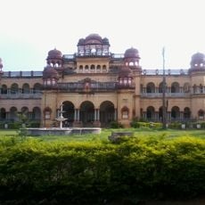
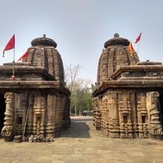
The settlement emerged from the colonial-era Zamindar system, and British-period structures such as old rest houses remain visible in the area. These buildings reflect the administrative framework established during British rule.

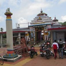
The population of 35,335 residents maintains traditional practices through weekly markets, folk performances, and celebrations like Magha Yatra and Kandul Yatra.

The village connects to Phulbani, the district headquarters, through regular bus services and is located roughly 210 kilometers from the state capital Bhubaneswar. Visitors should be prepared for a rural setting with basic infrastructure in a hilly area.

Local farmers grow specialized crops including baby potatoes during winter months alongside turmeric, ginger, and mustard seeds year-round. This mixed cultivation reflects the agricultural practices suited to the hilly climate.

The community of curious travelers

AroundUs brings together thousands of curated places, local tips, and hidden gems, enriched daily by 60,000 contributors worldwide.

Start exploring
Elevation above the sea
374 m
GPS coordinates
20.35000,84.12000
Latest update
December 14, 2025 17:43
Reviews
Share your experience

No review yet

Discussions
Start a discussion...

No discussion yet

« Sarangada - Gram panchayat in Kandhamal district, India » is provided by Around Us (aroundus.com). Images and texts are derived from Wikimedia project under a Creative Commons license. You are allowed to copy, distribute, and modify copies of this page, under the conditions set by the license, as long as this note is clearly visible.

Discover hidden gems everywhere you go!

From secret cafés to breathtaking viewpoints, skip the crowded tourist spots and find places that match your style. Our app makes it easy with voice search, smart filtering, route optimization, and insider tips from travelers worldwide. Download now for the complete mobile experience.

Around Us App Screenshot

A unique approach to discovering new places

Le Figaro

All the places worth exploring

France Info

A tailor-made excursion in just a few clicks

20 Minutes

Around Us
Travel Guide & Maps
Download

Send to your phone

QR Code
1

Open the camera app on your mobile.

2

Point at the QR code with your camera. A notification will appear.

3

Tap the notification to open the link.